Virgin Islands Chart Imray Chart
Virgin Islands 1:90 000 Charts A231 and A232 printed each side of a sheet. A double-sided chart combining charts A231 and A232 A231 St Thomas to Virgin Gorda Detailed plans or insets include: Charlotte Amalie (St Thomas) (Scale: 1 : 30.000) Cruz Bay (St John) (Scale: 1 : 20.000) Road Harbour, Sea Cow Bay and Nanny Cay Marina (Tortola) (Scale: 1 : 20.000) Benner Bay (St Thomas) (Scale: 1 : 20.000) Great Camanoe to Scrub Island (Scale: 1 : 20.000) A232 Tortola to Anegada
Detailed plans or insets include: Road Harbour and Approaches (Tortola) (Scale: 1 : 20.000) Virgin Gorda Yacht Harbour (Virgin Gorda) (Scale: 1 : 20.000) South Sound (Virgin Gorda) (Scale: 1 : 20.000) Gorda Sound (Virgin Gorda) (Scale: 1 : 25.000) Great Camanoe to Scrub Island (Scale: 1 : 20.000) Fat Hogs Bay and Maya Cove (Tortola) (Scale: 1 : 20.000)
PLEASE NOTE There are no sailing directions on this double-sided chart.
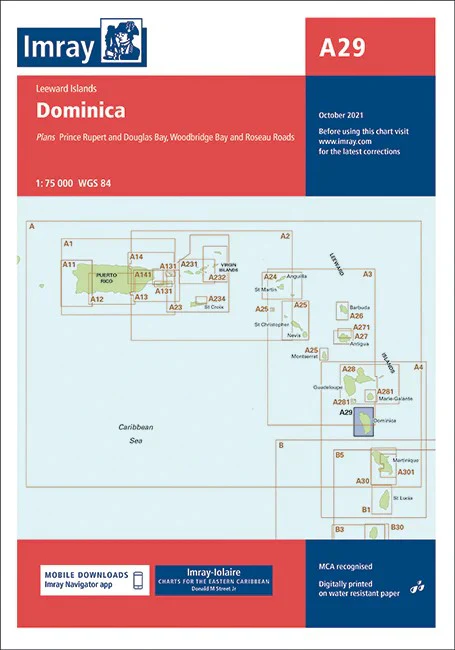
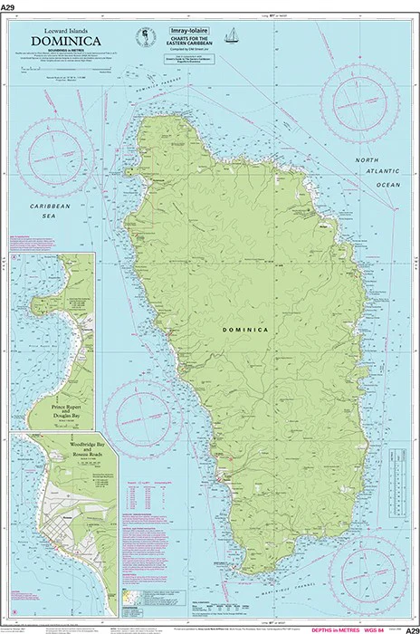
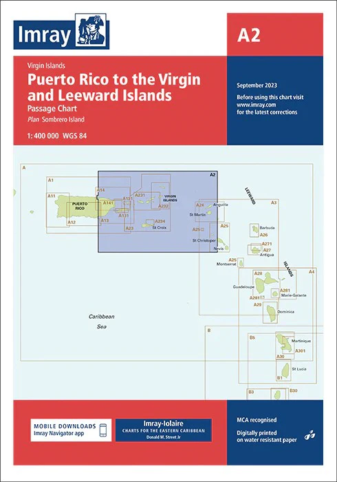
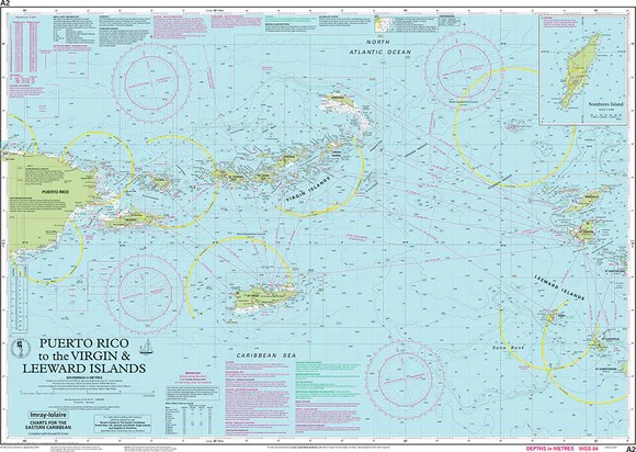
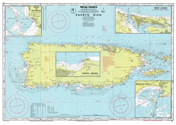
A Series charts from Imray are a set of charts covering the Leeward Islands, Virgin Islands and Puerto Rico in the Caribbean sea.
The information shown on charts is liable to constant change. Corrections are made available on the Imray website: https://store.imray.com/collections/imray-charts-1 Visit the website to obtain the latest correction notices which are available as free downloads and are continually updated. Imray is now adding smart phone readable QR codes on their charts.
These will provide a fast link to chart corrections and book supplements which are available at the Imray website.
THIS CHART IS ORDER ON-DEMAND PLEASE ALLOW 10 WORKING DAYS FOR DELIVERY
Product Information
Product Information
Shipping & Returns
Shipping & Returns
Description
Virgin Islands 1:90 000 Charts A231 and A232 printed each side of a sheet. A double-sided chart combining charts A231 and A232 A231 St Thomas to Virgin Gorda Detailed plans or insets include: Charlotte Amalie (St Thomas) (Scale: 1 : 30.000) Cruz Bay (St John) (Scale: 1 : 20.000) Road Harbour, Sea Cow Bay and Nanny Cay Marina (Tortola) (Scale: 1 : 20.000) Benner Bay (St Thomas) (Scale: 1 : 20.000) Great Camanoe to Scrub Island (Scale: 1 : 20.000) A232 Tortola to Anegada
Detailed plans or insets include: Road Harbour and Approaches (Tortola) (Scale: 1 : 20.000) Virgin Gorda Yacht Harbour (Virgin Gorda) (Scale: 1 : 20.000) South Sound (Virgin Gorda) (Scale: 1 : 20.000) Gorda Sound (Virgin Gorda) (Scale: 1 : 25.000) Great Camanoe to Scrub Island (Scale: 1 : 20.000) Fat Hogs Bay and Maya Cove (Tortola) (Scale: 1 : 20.000)
PLEASE NOTE There are no sailing directions on this double-sided chart.
A Series charts from Imray are a set of charts covering the Leeward Islands, Virgin Islands and Puerto Rico in the Caribbean sea.
The information shown on charts is liable to constant change. Corrections are made available on the Imray website: https://store.imray.com/collections/imray-charts-1 Visit the website to obtain the latest correction notices which are available as free downloads and are continually updated. Imray is now adding smart phone readable QR codes on their charts.
These will provide a fast link to chart corrections and book supplements which are available at the Imray website.
THIS CHART IS ORDER ON-DEMAND PLEASE ALLOW 10 WORKING DAYS FOR DELIVERY