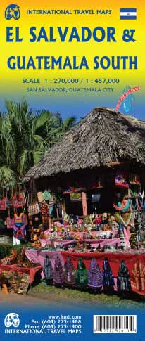
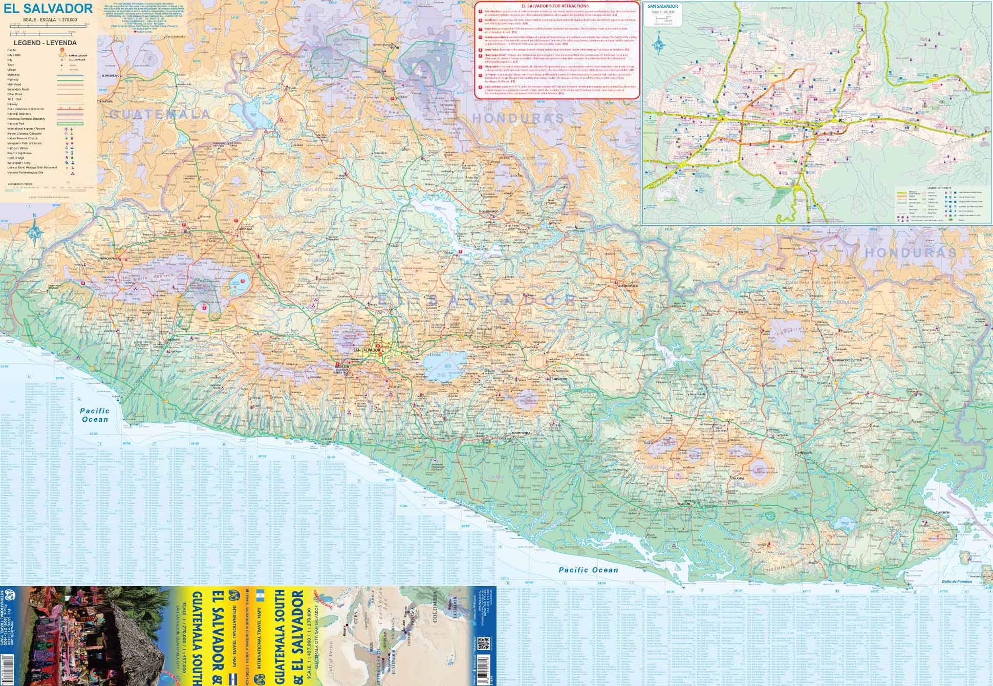
Yucatan Borch Folded Laminated Map
Featuring Mérida, Cancún, Chichén-Itzá, Tulum, Cozumel, Palenque & Northern Guatemala
🗺️ Scale: 1:1,000,000 | 📚 Includes Historical Sites & Tourist Hotspots | 💧 Durable, Laminated, Travel-Ready
🌿 Your Ultimate Companion to the Ancient & Modern Wonders of the Yucatán
Explore the enchanting blend of Mayan heritage, colonial charm, and Caribbean allure with the Yucatán Peninsula Laminated Map by Borch. Whether you’re wandering through temple ruins, snorkelling off Cozumel, or strolling the pastel-coloured streets of Mérida, this beautifully detailed map is a must-have tool for curious travellers, educators, and cultural explorers alike.
Designed with clarity and usability in mind, this soft-laminated, foldable map is waterproof, tear-resistant, and ideal for field use. It includes a full suite of regional and city maps, making it perfect for planning road trips, heritage site visits, or immersive regional travel throughout southeastern Mexico and into northern Guatemala.
🗺️ Coverage & Insets
This comprehensive map features layered cartography and up-to-date tourist information across the Yucatán Peninsula and its surrounding areas. Insets offer focused detail on key locations:
| 📍 Map Detail | 🔍 Scale |
|---|---|
| Yucatán Peninsula (Main) | 1:1,000,000 |
| Guatemala North | 1:1,000,000 |
| Yucatán Peninsula Overview | 1:4,000,000 |
| Mérida City Centre | 1:10,000 |
| Mérida Region | 1:100,000 |
| Cancún & Isla Mujeres | 1:100,000 |
| Campeche City | 1:10,000 |
| Palenque Archaeological Zone | 1:5,000 |
| Tulum Ruins | 1:3,750 |
| Tikal Ruins (Guatemala) | 1:6,200 |
| Uxmal | 1:5,500 |
| Chichén-Itzá | 1:6,500 |
| Isla de Cozumel | 1:250,000 |
⭐ Map Features
-
Durable, Soft-Laminated Surface
Fully encapsulated in a flexible, wipe-clean laminate that resists moisture, creasing, and tearing — perfect for outdoor use. -
Extensive Tourist Index
Highlights must-see locations, including Mayan pyramids, UNESCO World Heritage sites, natural parks, museums, and coastal resorts. -
Informative Insets
Dive into the detail with enlarged city plans and archaeological site layouts. Find your way around Cancún, Mérida, Chichén-Itzá, and more. -
Climate & Travel Data
Includes charts for temperatures, rainfall, sunshine hours, and humidity, as well as conversion tables for metric and imperial measurements. -
Time Zones & Administrative Boundaries
Includes Mexico administrative divisions, regional time zones, and border crossings for Guatemala and Belize. -
Multilingual Legend & Index
Information is accessible to global travellers, with symbols and terms translated for ease of use.
🧭 Why Choose This Map?
The Yucatán Peninsula offers an exceptional concentration of cultural depth, biodiversity, and travel diversity. This map is perfect for:
✔️ Archaeology & History Buffs – Plan visits to world-famous Mayan ruins like Chichén-Itzá, Uxmal, Tikal, and Palenque
✔️ Eco & Adventure Travellers – Locate cenotes, reefs, biosphere reserves, and coastal dive sites
✔️ Cruise Ship Passengers – Use detailed insets of Cozumel, Isla Mujeres, and Cancún
✔️ Educators & Classrooms – Teach geography, ecology, and history with a clear, attractive, and easy-to-read reference
✔️ Road Trippers – Easily navigate the peninsula's highways, backroads, and border crossings
📐 Specifications
| Feature | Details |
|---|---|
| Publisher | Borch Maps |
| Edition | 8th Edition (2016) |
| Main Map Scale | 1:1,000,000 |
| Folded Size | 243 mm x 110 mm x 8 mm |
| Unfolded Size | 880 mm x 494 mm |
| Weight | 69 g (2.4 oz) |
| ISBN | 978-3-86609-561-8 |
| Map Type | Laminated, folded travel and tourist map |
🚚 Delivery Note
🛠️ Ordered on Demand — Please allow up to 10 working days for delivery, as each map is ordered especially from the publisher.
Immerse yourself in the culture, colour, and natural beauty of the Yucatán — with a map that’s as adventurous as you are
Original: $15.70
-65%$15.70
$5.49Product Information
Product Information
Shipping & Returns
Shipping & Returns
Description
Featuring Mérida, Cancún, Chichén-Itzá, Tulum, Cozumel, Palenque & Northern Guatemala
🗺️ Scale: 1:1,000,000 | 📚 Includes Historical Sites & Tourist Hotspots | 💧 Durable, Laminated, Travel-Ready
🌿 Your Ultimate Companion to the Ancient & Modern Wonders of the Yucatán
Explore the enchanting blend of Mayan heritage, colonial charm, and Caribbean allure with the Yucatán Peninsula Laminated Map by Borch. Whether you’re wandering through temple ruins, snorkelling off Cozumel, or strolling the pastel-coloured streets of Mérida, this beautifully detailed map is a must-have tool for curious travellers, educators, and cultural explorers alike.
Designed with clarity and usability in mind, this soft-laminated, foldable map is waterproof, tear-resistant, and ideal for field use. It includes a full suite of regional and city maps, making it perfect for planning road trips, heritage site visits, or immersive regional travel throughout southeastern Mexico and into northern Guatemala.
🗺️ Coverage & Insets
This comprehensive map features layered cartography and up-to-date tourist information across the Yucatán Peninsula and its surrounding areas. Insets offer focused detail on key locations:
| 📍 Map Detail | 🔍 Scale |
|---|---|
| Yucatán Peninsula (Main) | 1:1,000,000 |
| Guatemala North | 1:1,000,000 |
| Yucatán Peninsula Overview | 1:4,000,000 |
| Mérida City Centre | 1:10,000 |
| Mérida Region | 1:100,000 |
| Cancún & Isla Mujeres | 1:100,000 |
| Campeche City | 1:10,000 |
| Palenque Archaeological Zone | 1:5,000 |
| Tulum Ruins | 1:3,750 |
| Tikal Ruins (Guatemala) | 1:6,200 |
| Uxmal | 1:5,500 |
| Chichén-Itzá | 1:6,500 |
| Isla de Cozumel | 1:250,000 |
⭐ Map Features
-
Durable, Soft-Laminated Surface
Fully encapsulated in a flexible, wipe-clean laminate that resists moisture, creasing, and tearing — perfect for outdoor use. -
Extensive Tourist Index
Highlights must-see locations, including Mayan pyramids, UNESCO World Heritage sites, natural parks, museums, and coastal resorts. -
Informative Insets
Dive into the detail with enlarged city plans and archaeological site layouts. Find your way around Cancún, Mérida, Chichén-Itzá, and more. -
Climate & Travel Data
Includes charts for temperatures, rainfall, sunshine hours, and humidity, as well as conversion tables for metric and imperial measurements. -
Time Zones & Administrative Boundaries
Includes Mexico administrative divisions, regional time zones, and border crossings for Guatemala and Belize. -
Multilingual Legend & Index
Information is accessible to global travellers, with symbols and terms translated for ease of use.
🧭 Why Choose This Map?
The Yucatán Peninsula offers an exceptional concentration of cultural depth, biodiversity, and travel diversity. This map is perfect for:
✔️ Archaeology & History Buffs – Plan visits to world-famous Mayan ruins like Chichén-Itzá, Uxmal, Tikal, and Palenque
✔️ Eco & Adventure Travellers – Locate cenotes, reefs, biosphere reserves, and coastal dive sites
✔️ Cruise Ship Passengers – Use detailed insets of Cozumel, Isla Mujeres, and Cancún
✔️ Educators & Classrooms – Teach geography, ecology, and history with a clear, attractive, and easy-to-read reference
✔️ Road Trippers – Easily navigate the peninsula's highways, backroads, and border crossings
📐 Specifications
| Feature | Details |
|---|---|
| Publisher | Borch Maps |
| Edition | 8th Edition (2016) |
| Main Map Scale | 1:1,000,000 |
| Folded Size | 243 mm x 110 mm x 8 mm |
| Unfolded Size | 880 mm x 494 mm |
| Weight | 69 g (2.4 oz) |
| ISBN | 978-3-86609-561-8 |
| Map Type | Laminated, folded travel and tourist map |
🚚 Delivery Note
🛠️ Ordered on Demand — Please allow up to 10 working days for delivery, as each map is ordered especially from the publisher.
Immerse yourself in the culture, colour, and natural beauty of the Yucatán — with a map that’s as adventurous as you are