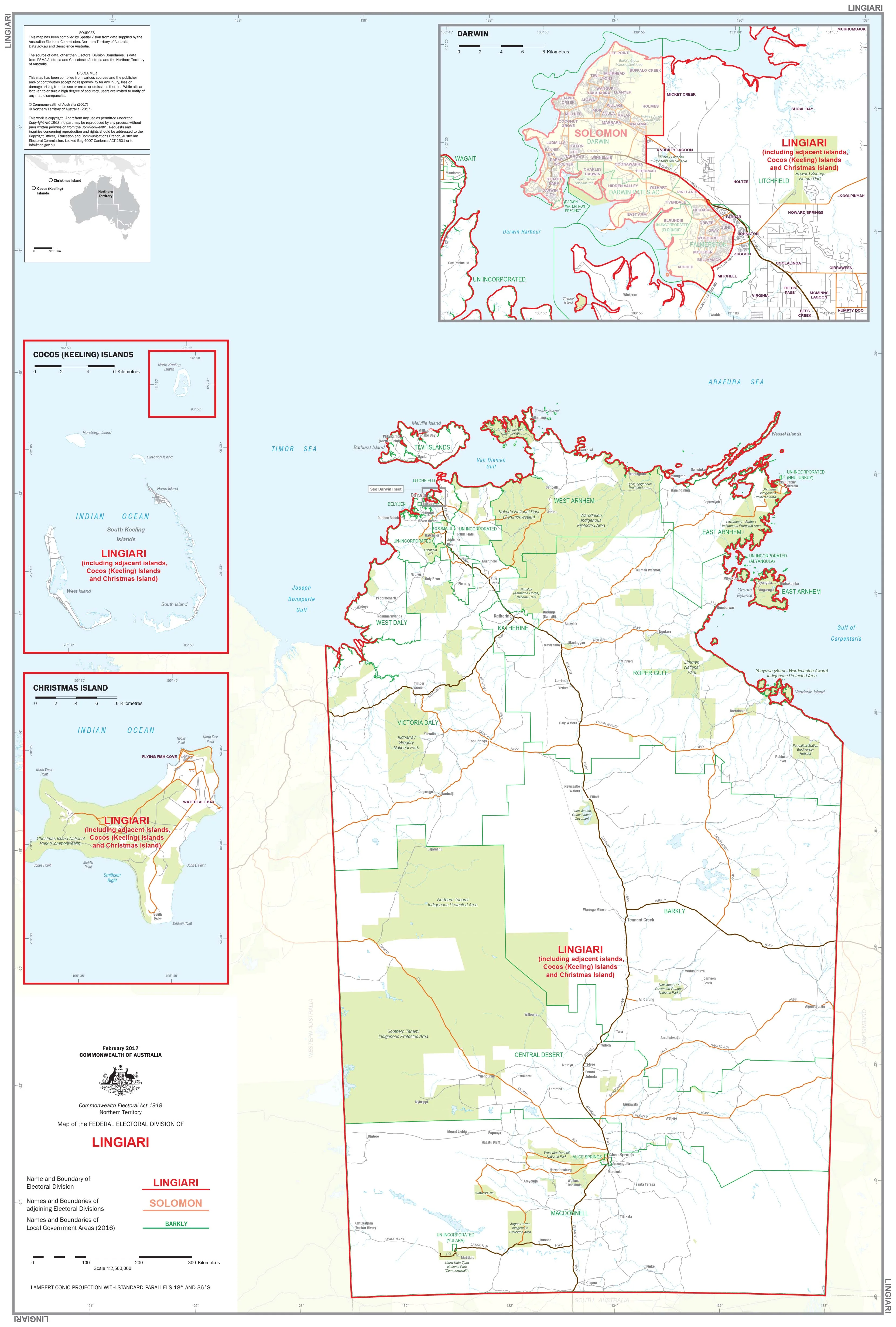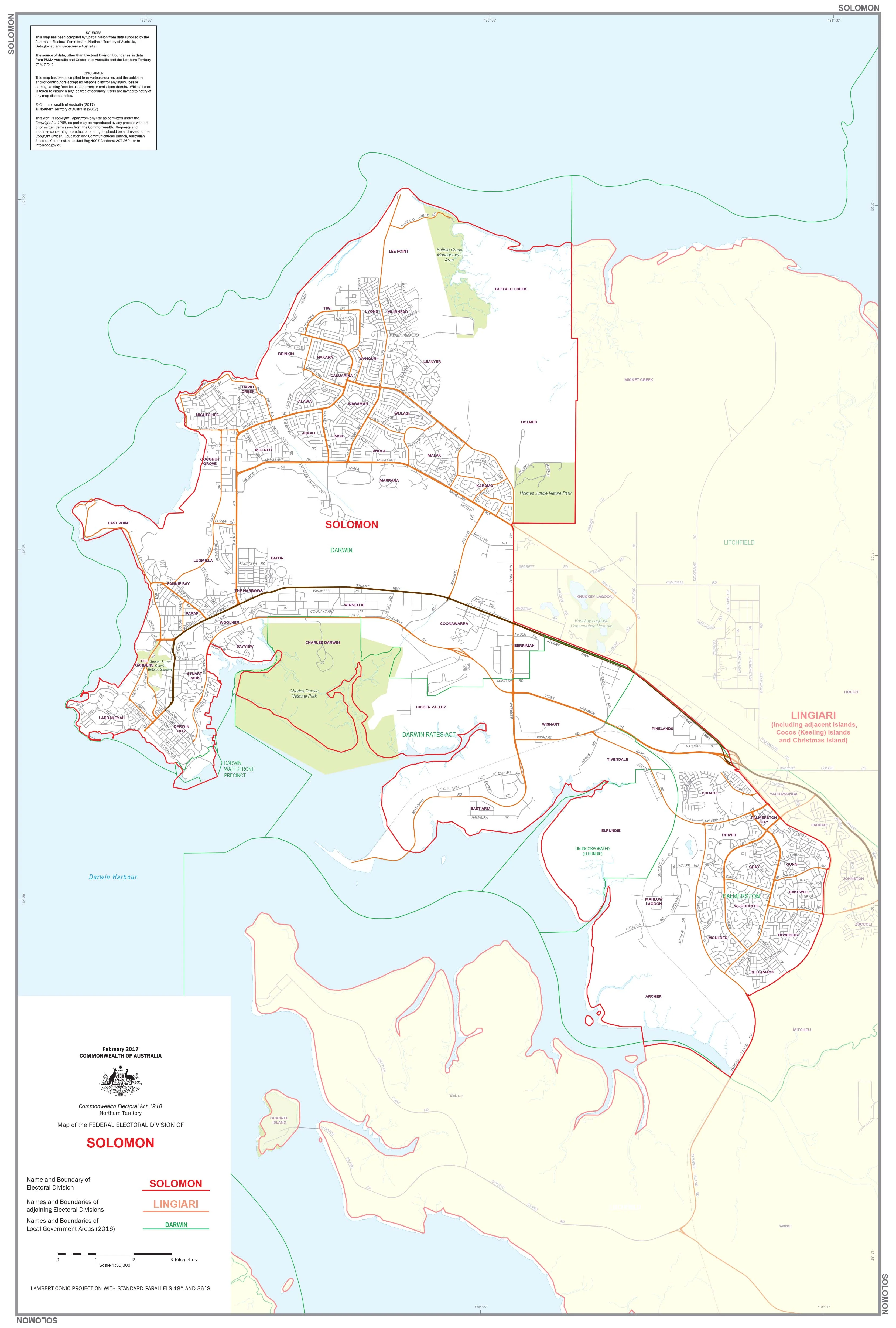
Northern Territory Federal Electoral Divisions and Local Government Areas Map - Solomon
Northern Territory — Federal Electoral Divisions & Local Government Areas Map (Solomon)
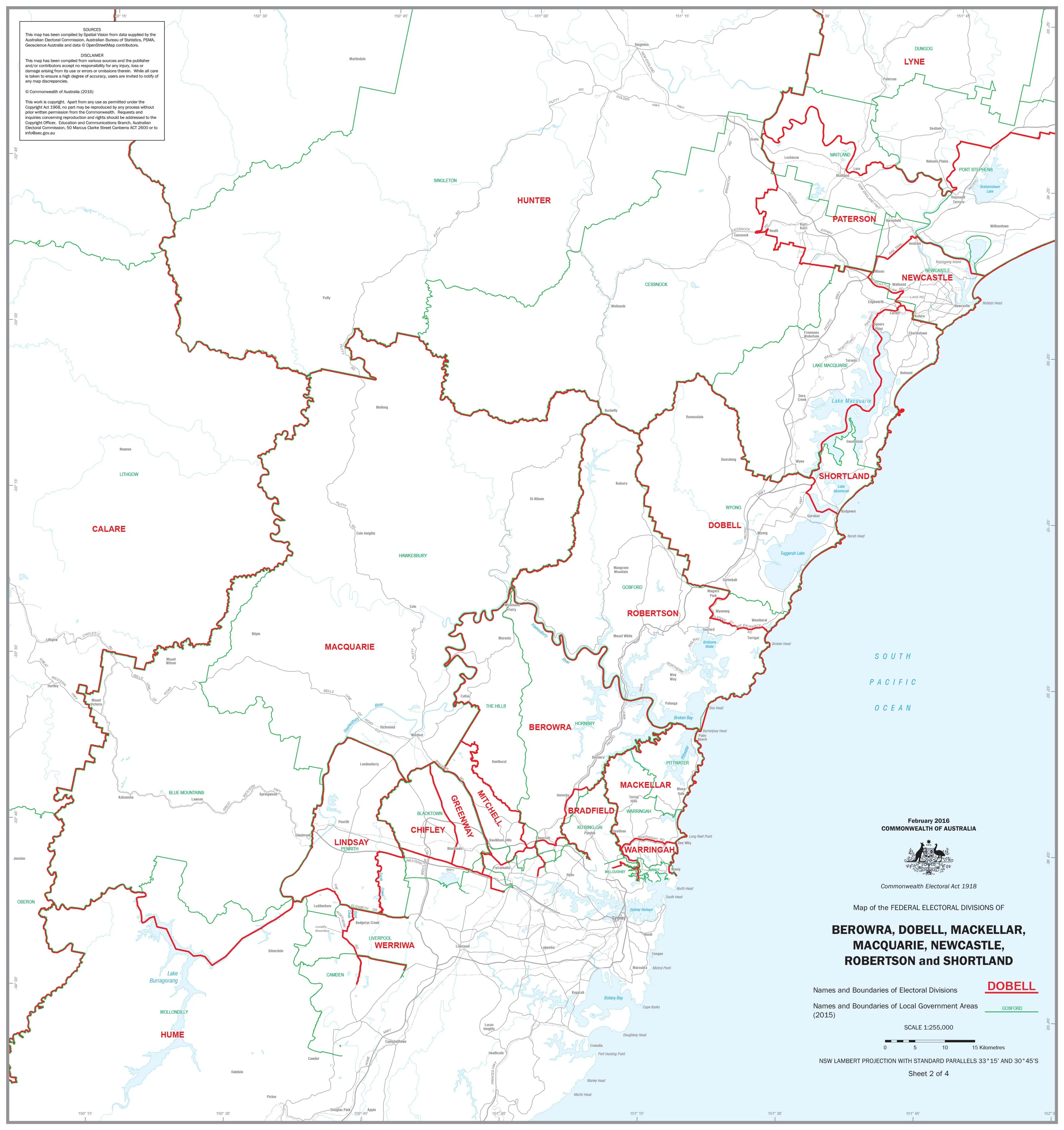
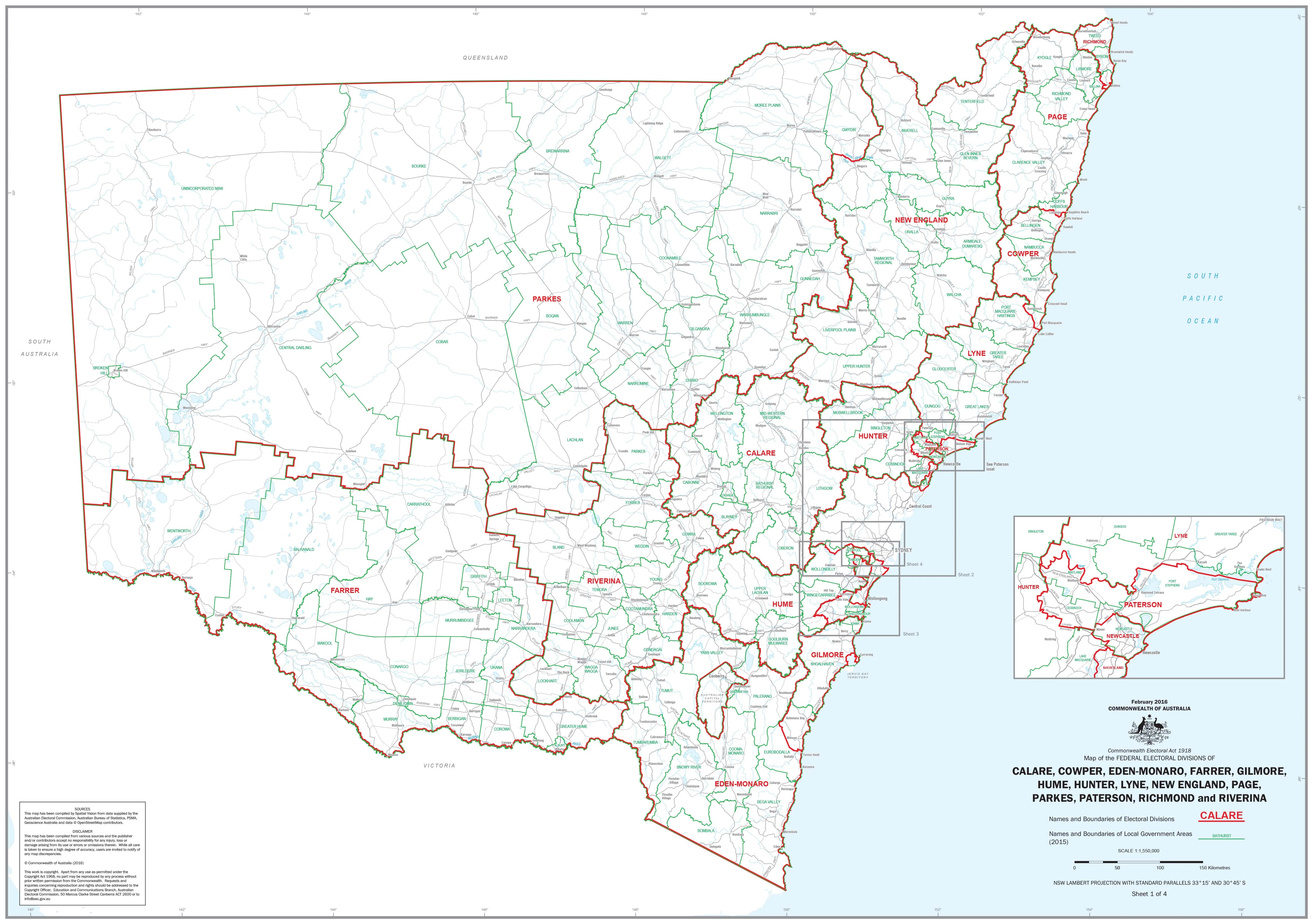
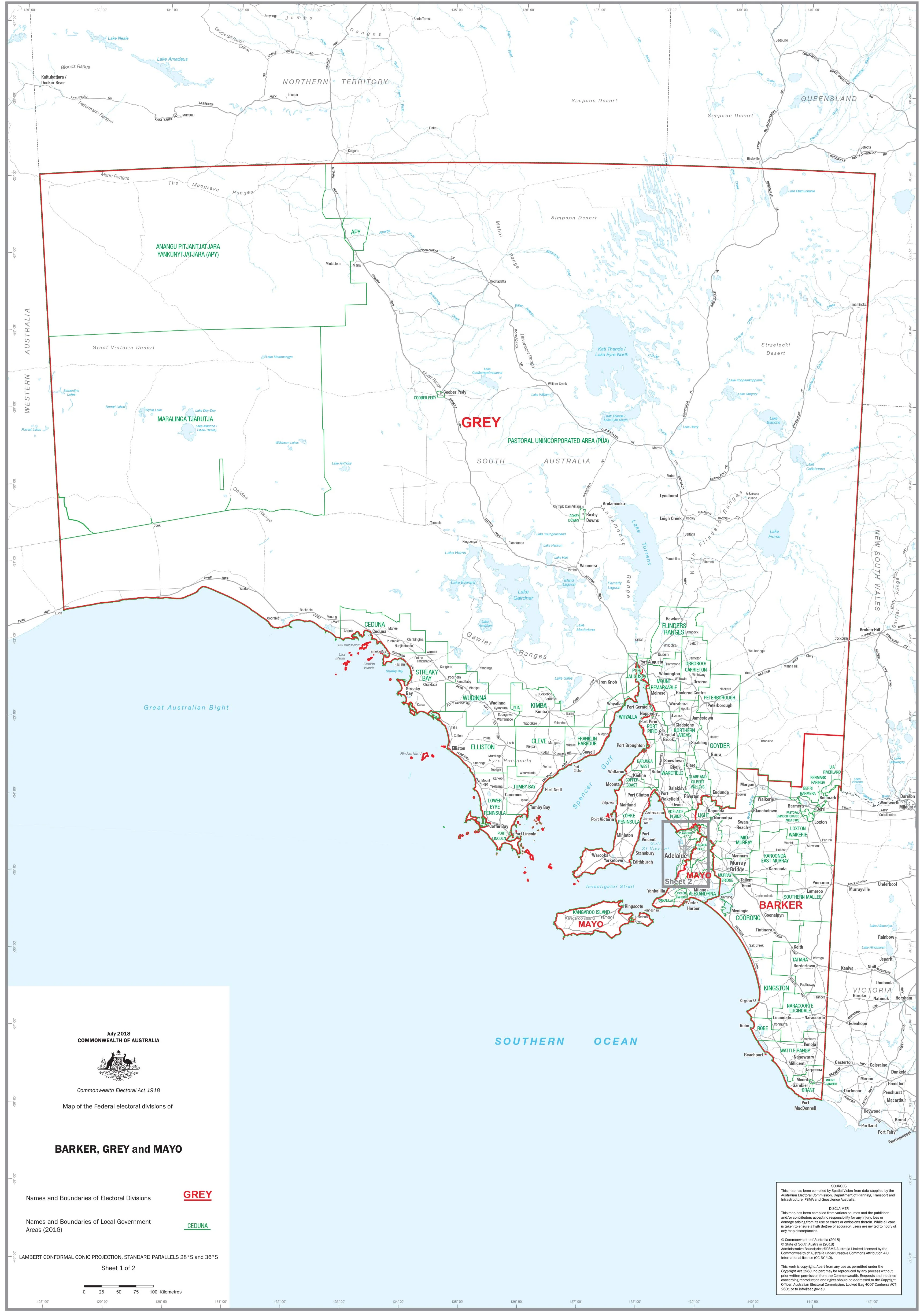
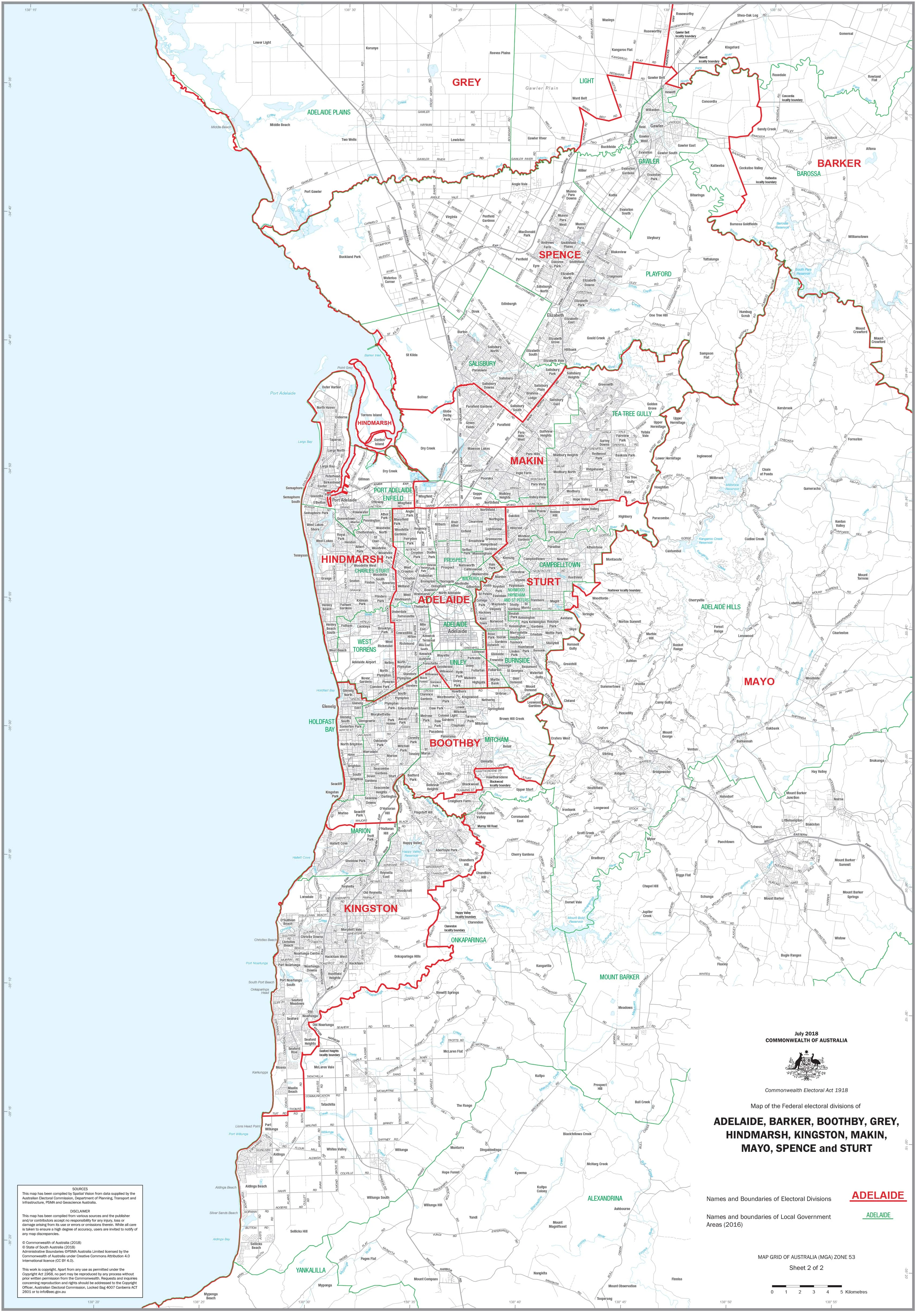
A clear, professional wall map highlighting the federal electoral division of Solomon and all Local Government Areas (LGAs) within its coverage around Darwin. Designed for accuracy and readability, it’s ideal for government teams, campaign offices, educators, researchers, businesses, and community organisations.
🗝️ Key Features
-
Electoral boundary clarity: Precise mapping for Solomon with division name and boundary lines clearly delineated.
-
Local Government Areas shown: All relevant LGA names and borders labelled for quick reference.
-
Up-to-date design: Created to reflect current electoral and LGA boundaries.
-
Large-format readability: Clean cartography for boardrooms, classrooms, and offices.
🗺️ Coverage
-
Federal Division: Solomon
-
Includes: Electoral division boundary plus LGA boundaries & names across the Darwin region.
🎨 Materials & Finishes
📄 Paper (160 gsm Matte)
-
Archival, glare-free stock that preserves fine boundary lines and colours.
-
Best for framing under glass or archival use.
💧 Laminated (True Encapsulation)
-
Encapsulated in 2 × 80-micron gloss laminate over robust print stock.
-
Waterproof, tear-resistant, wipe-clean; use whiteboard markers and map dots.
-
Built for high-use environments (campaign HQs, planning offices, classrooms).
🪵 Laminated + Timber Hang Rails
-
Laminated map mounted with natural lacquered timber rails (top & bottom).
-
Strong top hanging cord for quick, tidy wall display.
-
⚠️ Custom-finished: please allow up to 10 working days for delivery.
🎨 Canvas (395 gsm HP Professional Matte)
-
Museum-grade matte canvas for a refined, durable presentation.
-
Printed with pigment-based, fade-resistant inks for long-term clarity.
🪵 Canvas + Timber Hang Rails
-
Canvas version fitted with lacquered timber battens (top & bottom) and top hanging cord.
-
A gallery-quality, ready-to-hang display.
-
⚠️ Custom-finished: please allow up to 10 working days for delivery.
🧩 Customisation
Need deeper focus? We can produce individual detailed maps of any electoral division on request. Contact us for scope, pricing, and lead times.
📐 Size
-
1000 mm (W) × 700 mm (H)
-
Orientation: Landscape
📊 Specifications
| Attribute | Details |
|---|---|
| Title | Northern Territory Federal Electoral Divisions & Local Government Areas Map — Solomon |
| Coverage | Federal division of Solomon with LGA boundaries & names |
| Size | 1000 × 700 mm |
| Format Options | Paper; Laminated; Laminated + Timber Hang Rails; Canvas; Canvas + Timber Hang Rails |
| Paper | 160 gsm archival matte |
| Laminate | 2 × 80-micron gloss (true encapsulation) |
| Canvas | 395 gsm HP Professional Matte |
| Inks | Pigment-based, fade-resistant |
| Delivery | Paper/Laminated: typically 5–7 working days; Hang-railed finishes: up to 10 working days |
| Made in | Australia |
🎯 Who it’s for
-
🏛️ Government & electoral offices — boundary planning and reference
-
🗳️ Political campaign teams — strategy, outreach, and resourcing
-
🎓 Schools & universities — civics, geography, and political studies
-
🏢 Businesses & planners — service areas and council engagement
-
📍 Community organisations — clear, reliable boundary reference
🤝 Our Commitment
Every map is printed and finished locally in Australia with archival-grade materials and fade-resistant inks. Each copy is colour-managed, hand-checked, and professionally packed, ensuring accuracy, durability, and display-ready quality.
🛒 Order your NT Electoral & LGA Map (Solomon) today — a precise, durable, and beautifully presented reference for Darwin’s federal and local boundaries.
Original: $42.89
-65%$42.89
$15.01Product Information
Product Information
Shipping & Returns
Shipping & Returns
Description
Northern Territory — Federal Electoral Divisions & Local Government Areas Map (Solomon)
A clear, professional wall map highlighting the federal electoral division of Solomon and all Local Government Areas (LGAs) within its coverage around Darwin. Designed for accuracy and readability, it’s ideal for government teams, campaign offices, educators, researchers, businesses, and community organisations.
🗝️ Key Features
-
Electoral boundary clarity: Precise mapping for Solomon with division name and boundary lines clearly delineated.
-
Local Government Areas shown: All relevant LGA names and borders labelled for quick reference.
-
Up-to-date design: Created to reflect current electoral and LGA boundaries.
-
Large-format readability: Clean cartography for boardrooms, classrooms, and offices.
🗺️ Coverage
-
Federal Division: Solomon
-
Includes: Electoral division boundary plus LGA boundaries & names across the Darwin region.
🎨 Materials & Finishes
📄 Paper (160 gsm Matte)
-
Archival, glare-free stock that preserves fine boundary lines and colours.
-
Best for framing under glass or archival use.
💧 Laminated (True Encapsulation)
-
Encapsulated in 2 × 80-micron gloss laminate over robust print stock.
-
Waterproof, tear-resistant, wipe-clean; use whiteboard markers and map dots.
-
Built for high-use environments (campaign HQs, planning offices, classrooms).
🪵 Laminated + Timber Hang Rails
-
Laminated map mounted with natural lacquered timber rails (top & bottom).
-
Strong top hanging cord for quick, tidy wall display.
-
⚠️ Custom-finished: please allow up to 10 working days for delivery.
🎨 Canvas (395 gsm HP Professional Matte)
-
Museum-grade matte canvas for a refined, durable presentation.
-
Printed with pigment-based, fade-resistant inks for long-term clarity.
🪵 Canvas + Timber Hang Rails
-
Canvas version fitted with lacquered timber battens (top & bottom) and top hanging cord.
-
A gallery-quality, ready-to-hang display.
-
⚠️ Custom-finished: please allow up to 10 working days for delivery.
🧩 Customisation
Need deeper focus? We can produce individual detailed maps of any electoral division on request. Contact us for scope, pricing, and lead times.
📐 Size
-
1000 mm (W) × 700 mm (H)
-
Orientation: Landscape
📊 Specifications
| Attribute | Details |
|---|---|
| Title | Northern Territory Federal Electoral Divisions & Local Government Areas Map — Solomon |
| Coverage | Federal division of Solomon with LGA boundaries & names |
| Size | 1000 × 700 mm |
| Format Options | Paper; Laminated; Laminated + Timber Hang Rails; Canvas; Canvas + Timber Hang Rails |
| Paper | 160 gsm archival matte |
| Laminate | 2 × 80-micron gloss (true encapsulation) |
| Canvas | 395 gsm HP Professional Matte |
| Inks | Pigment-based, fade-resistant |
| Delivery | Paper/Laminated: typically 5–7 working days; Hang-railed finishes: up to 10 working days |
| Made in | Australia |
🎯 Who it’s for
-
🏛️ Government & electoral offices — boundary planning and reference
-
🗳️ Political campaign teams — strategy, outreach, and resourcing
-
🎓 Schools & universities — civics, geography, and political studies
-
🏢 Businesses & planners — service areas and council engagement
-
📍 Community organisations — clear, reliable boundary reference
🤝 Our Commitment
Every map is printed and finished locally in Australia with archival-grade materials and fade-resistant inks. Each copy is colour-managed, hand-checked, and professionally packed, ensuring accuracy, durability, and display-ready quality.
🛒 Order your NT Electoral & LGA Map (Solomon) today — a precise, durable, and beautifully presented reference for Darwin’s federal and local boundaries.