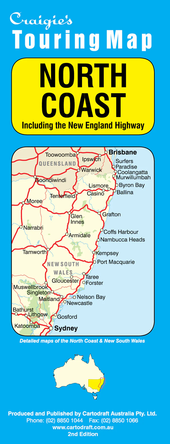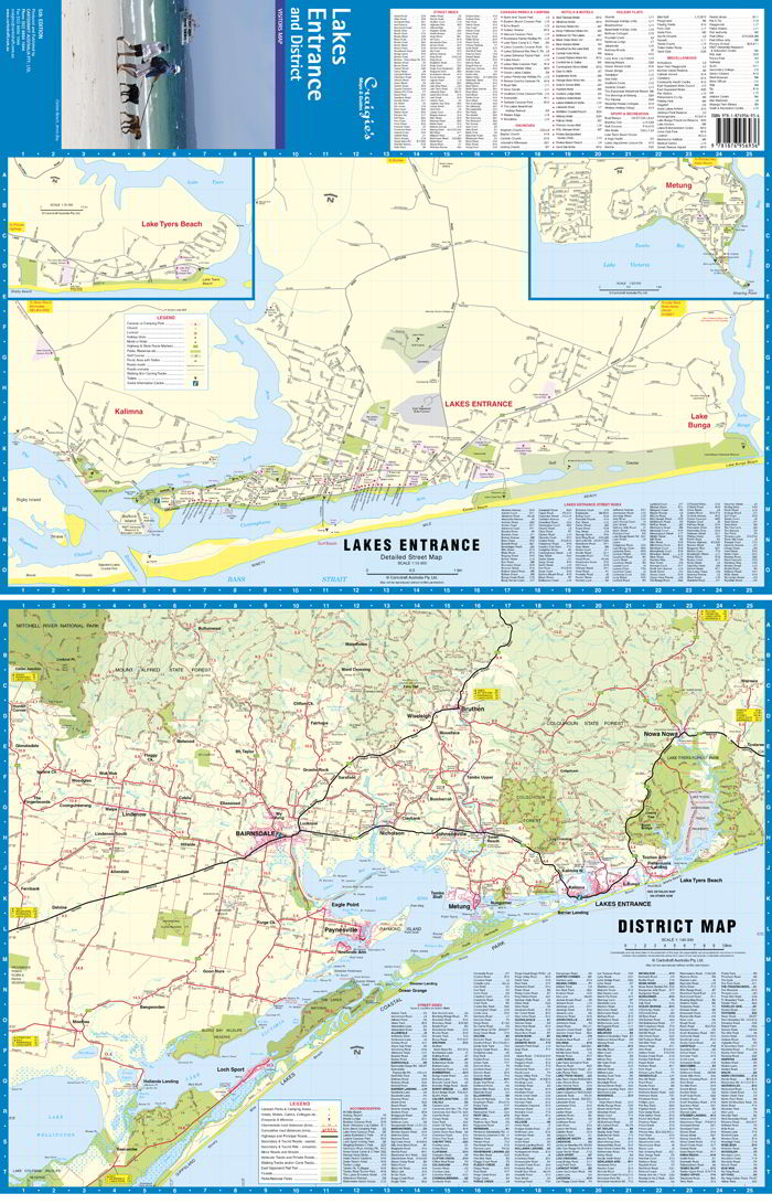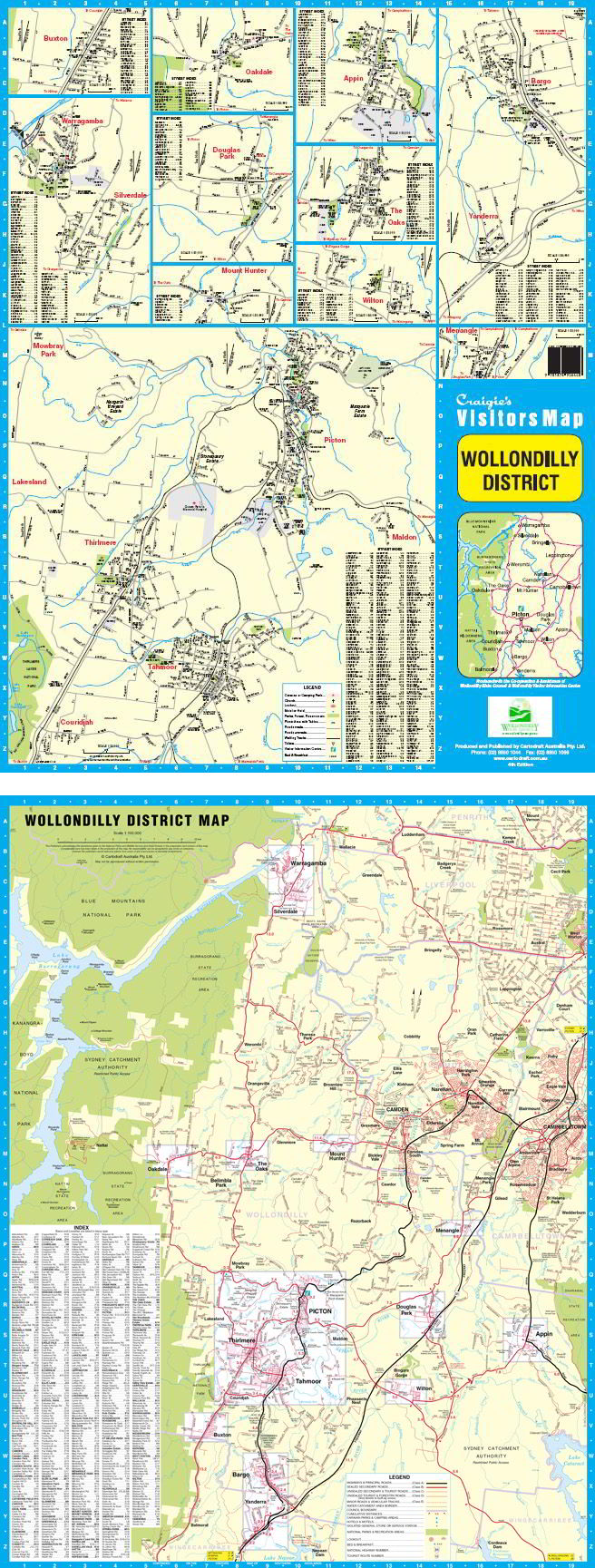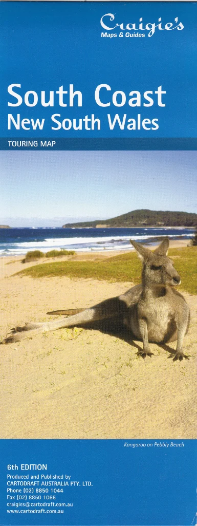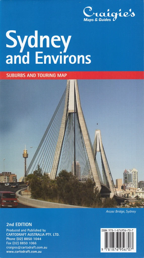
Sydney & Environs Craigies Map
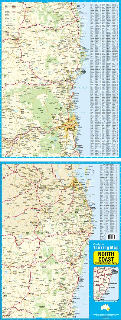
Sydney & Environs Map – Craigies Maps
Double-sided map featuring Greater Sydney, Central Coast, Blue Mountains & South Coast corridors
The Sydney & Environs Map by Craigies is a comprehensive, double-sided map offering up-to-date cartographic detail for both the Greater Sydney suburban network and its surrounding regional corridors. Whether you're navigating Sydney's complex street layout, planning regional deliveries, or heading out on a road trip, this map provides all the detail and clarity you need.
Fully indexed and printed in a large, easy-to-read format, this map is ideal for business use, courier routing, touring, or everyday reference.
🧭 Map Coverage & Scales
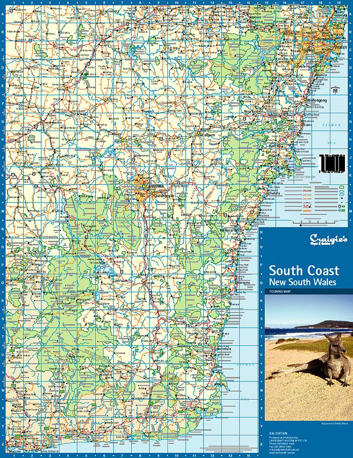
Side 1: Sydney Environs (Scale 1:308,000)
Covers a broad outer ring of the Sydney basin and regional corridors, including:
-
🧭 North: Nelson Bay, Newcastle, Lake Macquarie, Central Coast
-
🧭 South: Sussex Inlet, Jervis Bay, Wollongong
-
🧭 West: Lithgow, Blue Mountains, Oberon
-
Clearly marked major highways, national and state route numbers
-
Suburbs, towns, national parks, waterways, and topographical highlights
-
Fully indexed for quick lookup
Side 2: Sydney Suburbs (Scale 1:98,000)
Focused metropolitan map of Sydney and immediate surrounds:
-
🧭 North: Brisbane Water & Hornsby
-
🧭 South: Stanwell Tops
-
🧭 West: Lapstone & Lower Blue Mountains
-
Includes a full index of suburbs with postcodes
-
Highlights key industrial areas, national parks, and state forests
🗂️ Key Features
| Feature | Description |
|---|---|
| 🌆 Suburban Detail | Full coverage of Sydney’s suburbs, road network, and postcode zones |
| 🌏 Regional Overview | Extended view of surrounding towns, highways, and recreational areas |
| 🛣️ Road Hierarchy | Major highways, arterial routes, national/state route numbers |
| 🏞️ Natural Features | National parks, forests, rivers, lakes, and coastline clearly marked |
| 📍 Full Indexing | Both sides feature indexed suburb, town, and location names |
| 🧾 Postcodes Included | A helpful postcode reference for mailing and business use |
📐 Specifications
| Specification | Detail |
|---|---|
| Publisher | Craigies Maps |
| Map Format | Folded, double-sided |
| Environs Scale | 1:308,000 |
| Suburbs Scale | 1:98,000 |
| Flat Size | 700 mm (W) × 1000 mm (H) |
| Printed in | Australia |
🎯 Ideal For
-
🚚 Business users, courier services, and logistics professionals needing postcode and regional route data
-
🚙 Tourists and road trippers planning getaways around Sydney, the Central Coast, Blue Mountains, or South Coast
-
🏠 Real estate professionals, service technicians, and mobile teams
-
🧭 Commuters and planners navigating new suburbs and satellite towns
-
🏫 Teachers, students, and home offices seeking a visual and geographic overview of Sydney and beyond
🌟 Why Choose Craigies Maps?
With decades of cartographic experience, Craigies Maps are known for their accuracy, readability, and real-world usability. This double-sided map is particularly valuable for those needing both a broad regional context and suburban detail in one practical format.
From the Pacific Coast to the Blue Mountains, and from the industrial zones of Western Sydney to the tranquil bushland of the South Coast — the Craigies Sydney & Environs Map is your reliable partner for navigating New South Wales' busiest and most dynamic region.
Original: $10.70
-65%$10.70
$3.74Product Information
Product Information
Shipping & Returns
Shipping & Returns
Description
Sydney & Environs Map – Craigies Maps
Double-sided map featuring Greater Sydney, Central Coast, Blue Mountains & South Coast corridors
The Sydney & Environs Map by Craigies is a comprehensive, double-sided map offering up-to-date cartographic detail for both the Greater Sydney suburban network and its surrounding regional corridors. Whether you're navigating Sydney's complex street layout, planning regional deliveries, or heading out on a road trip, this map provides all the detail and clarity you need.
Fully indexed and printed in a large, easy-to-read format, this map is ideal for business use, courier routing, touring, or everyday reference.
🧭 Map Coverage & Scales
Side 1: Sydney Environs (Scale 1:308,000)
Covers a broad outer ring of the Sydney basin and regional corridors, including:
-
🧭 North: Nelson Bay, Newcastle, Lake Macquarie, Central Coast
-
🧭 South: Sussex Inlet, Jervis Bay, Wollongong
-
🧭 West: Lithgow, Blue Mountains, Oberon
-
Clearly marked major highways, national and state route numbers
-
Suburbs, towns, national parks, waterways, and topographical highlights
-
Fully indexed for quick lookup
Side 2: Sydney Suburbs (Scale 1:98,000)
Focused metropolitan map of Sydney and immediate surrounds:
-
🧭 North: Brisbane Water & Hornsby
-
🧭 South: Stanwell Tops
-
🧭 West: Lapstone & Lower Blue Mountains
-
Includes a full index of suburbs with postcodes
-
Highlights key industrial areas, national parks, and state forests
🗂️ Key Features
| Feature | Description |
|---|---|
| 🌆 Suburban Detail | Full coverage of Sydney’s suburbs, road network, and postcode zones |
| 🌏 Regional Overview | Extended view of surrounding towns, highways, and recreational areas |
| 🛣️ Road Hierarchy | Major highways, arterial routes, national/state route numbers |
| 🏞️ Natural Features | National parks, forests, rivers, lakes, and coastline clearly marked |
| 📍 Full Indexing | Both sides feature indexed suburb, town, and location names |
| 🧾 Postcodes Included | A helpful postcode reference for mailing and business use |
📐 Specifications
| Specification | Detail |
|---|---|
| Publisher | Craigies Maps |
| Map Format | Folded, double-sided |
| Environs Scale | 1:308,000 |
| Suburbs Scale | 1:98,000 |
| Flat Size | 700 mm (W) × 1000 mm (H) |
| Printed in | Australia |
🎯 Ideal For
-
🚚 Business users, courier services, and logistics professionals needing postcode and regional route data
-
🚙 Tourists and road trippers planning getaways around Sydney, the Central Coast, Blue Mountains, or South Coast
-
🏠 Real estate professionals, service technicians, and mobile teams
-
🧭 Commuters and planners navigating new suburbs and satellite towns
-
🏫 Teachers, students, and home offices seeking a visual and geographic overview of Sydney and beyond
🌟 Why Choose Craigies Maps?
With decades of cartographic experience, Craigies Maps are known for their accuracy, readability, and real-world usability. This double-sided map is particularly valuable for those needing both a broad regional context and suburban detail in one practical format.
From the Pacific Coast to the Blue Mountains, and from the industrial zones of Western Sydney to the tranquil bushland of the South Coast — the Craigies Sydney & Environs Map is your reliable partner for navigating New South Wales' busiest and most dynamic region.