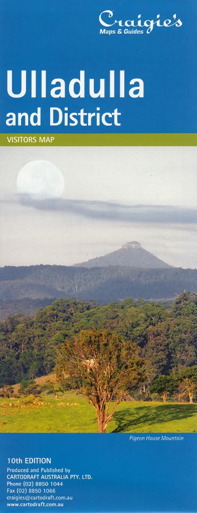
Ulladulla & District Craigies Map
Ulladulla & District Map – Craigies Maps
Your essential navigation companion for the South Coast’s seaside towns, national parks, and hinterland escapes
The Ulladulla & District Map by Craigies provides detailed, accurate coverage of one of New South Wales’ most scenic coastal regions. Whether you're a local resident, holidaymaker, property buyer, or road tripper, this map offers both regional context and street-level clarity across Ulladulla and its surrounding townships.
Stretching from Wandandian in the north to Merry Beach in the south, and reaching westward to the forested expanse of Morton National Park, this map is your ideal guide for exploring the sparkling shoreline, historic inland villages, and rich natural reserves of the South Coast.
📍 Map Coverage Includes
Regional Area:
-
Wandandian
-
Conjola National Park
-
Milton Hinterland
-
Morton National Park
-
Merry Beach & Kioloa Region
Street-Level Detail:
-
Ulladulla – The bustling harbour town and retail hub
-
Milton – Heritage village charm and arts scene
-
Mollymook – Popular beach and surf community
-
Narrawallee – Residential village with coastal serenity
-
Kings Point – Lakeside locale on Burrill Lake
-
Burrill Lake – Scenic waterway and peaceful retreat
🧭 Map Features
| Feature | Description |
|---|---|
| 🗺️ District Map Scale | 1:110,000 – Excellent for regional trip planning |
| 🏘️ Street Map Scale | 1:20,000 – Detailed mapping of town centres and residential areas |
| 🌿 Natural Features | National parks, state forests, and waterways clearly marked |
| 🛣️ Roads & Access | Major routes, local roads, and connectors between coastal and inland towns |
| 🏞️ Landmarks & Recreation | Lookouts, parks, reserves, beaches, and walking tracks included |
| 🧭 Navigation Aids | Clear cartographic design with labels, grids, and scale references |
📐 Specifications
| Specification | Detail |
|---|---|
| Publisher | Craigies Maps |
| Map Type | Folded street and district map |
| Map Title | Ulladulla & District |
| Regional Scale | 1:110,000 |
| Street Scale | 1:20,000 |
| Coverage | Ulladulla region, South Coast NSW |
| Printed in | Australia |
🎯 Perfect For
-
🏖️ Holidaymakers navigating South Coast beaches, towns, and accommodation
-
🚐 Caravaners and road trippers mapping scenic stops and fuel locations
-
🧭 Local residents and service providers seeking accurate street layouts
-
🌄 Bushwalkers and day trippers heading inland to Morton National Park
-
🛍️ Business operators planning deliveries, logistics, or service coverage in the region
-
📚 Teachers, schools, and visitor centres needing regional reference tools
🌟 Why Choose Craigies?
Craigies Maps are renowned for their clarity, accuracy, and local relevance. Designed and printed in Australia, each map is crafted with the needs of real travellers and residents in mind.
From vibrant village streets to quiet bushland roads, this map helps you see the bigger picture and the finer detail — all in one handy fold.
Explore the hidden coves, rolling pastures, and welcoming towns of Ulladulla and beyond — with the map trusted by locals and visitors alike.
Original: $10.70
-65%$10.70
$3.74Product Information
Product Information
Shipping & Returns
Shipping & Returns
Description
Ulladulla & District Map – Craigies Maps
Your essential navigation companion for the South Coast’s seaside towns, national parks, and hinterland escapes
The Ulladulla & District Map by Craigies provides detailed, accurate coverage of one of New South Wales’ most scenic coastal regions. Whether you're a local resident, holidaymaker, property buyer, or road tripper, this map offers both regional context and street-level clarity across Ulladulla and its surrounding townships.
Stretching from Wandandian in the north to Merry Beach in the south, and reaching westward to the forested expanse of Morton National Park, this map is your ideal guide for exploring the sparkling shoreline, historic inland villages, and rich natural reserves of the South Coast.
📍 Map Coverage Includes
Regional Area:
-
Wandandian
-
Conjola National Park
-
Milton Hinterland
-
Morton National Park
-
Merry Beach & Kioloa Region
Street-Level Detail:
-
Ulladulla – The bustling harbour town and retail hub
-
Milton – Heritage village charm and arts scene
-
Mollymook – Popular beach and surf community
-
Narrawallee – Residential village with coastal serenity
-
Kings Point – Lakeside locale on Burrill Lake
-
Burrill Lake – Scenic waterway and peaceful retreat
🧭 Map Features
| Feature | Description |
|---|---|
| 🗺️ District Map Scale | 1:110,000 – Excellent for regional trip planning |
| 🏘️ Street Map Scale | 1:20,000 – Detailed mapping of town centres and residential areas |
| 🌿 Natural Features | National parks, state forests, and waterways clearly marked |
| 🛣️ Roads & Access | Major routes, local roads, and connectors between coastal and inland towns |
| 🏞️ Landmarks & Recreation | Lookouts, parks, reserves, beaches, and walking tracks included |
| 🧭 Navigation Aids | Clear cartographic design with labels, grids, and scale references |
📐 Specifications
| Specification | Detail |
|---|---|
| Publisher | Craigies Maps |
| Map Type | Folded street and district map |
| Map Title | Ulladulla & District |
| Regional Scale | 1:110,000 |
| Street Scale | 1:20,000 |
| Coverage | Ulladulla region, South Coast NSW |
| Printed in | Australia |
🎯 Perfect For
-
🏖️ Holidaymakers navigating South Coast beaches, towns, and accommodation
-
🚐 Caravaners and road trippers mapping scenic stops and fuel locations
-
🧭 Local residents and service providers seeking accurate street layouts
-
🌄 Bushwalkers and day trippers heading inland to Morton National Park
-
🛍️ Business operators planning deliveries, logistics, or service coverage in the region
-
📚 Teachers, schools, and visitor centres needing regional reference tools
🌟 Why Choose Craigies?
Craigies Maps are renowned for their clarity, accuracy, and local relevance. Designed and printed in Australia, each map is crafted with the needs of real travellers and residents in mind.
From vibrant village streets to quiet bushland roads, this map helps you see the bigger picture and the finer detail — all in one handy fold.
Explore the hidden coves, rolling pastures, and welcoming towns of Ulladulla and beyond — with the map trusted by locals and visitors alike.