The Dividing Link, Mexico and Central America Wall Map - Published 2007 by National Geographic
The Dividing Link, Mexico and Central America Wall Map - Published 2007 by National Geographic
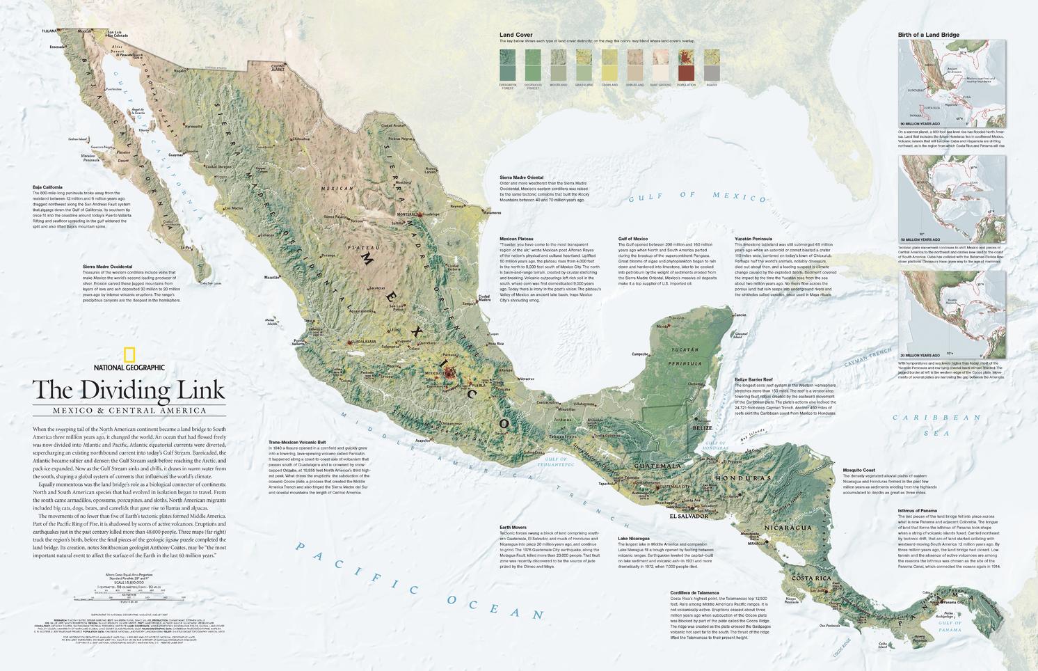
Published: 2007 | Scale: 1:5,810,000 | Size: 790 × 510 mm | Made in Australia
🌎 The Land Bridge That Changed the World
Three million years ago, the southern sweep of the North American continent met its southern neighbour in a geologic handshake that reshaped the planet. This event – the emergence of the land bridge between North and South America – divided a once-unified ocean into the Atlantic and Pacific, altering global ocean currents, reshaping climate systems, and creating a vital corridor for the exchange of species between continents.
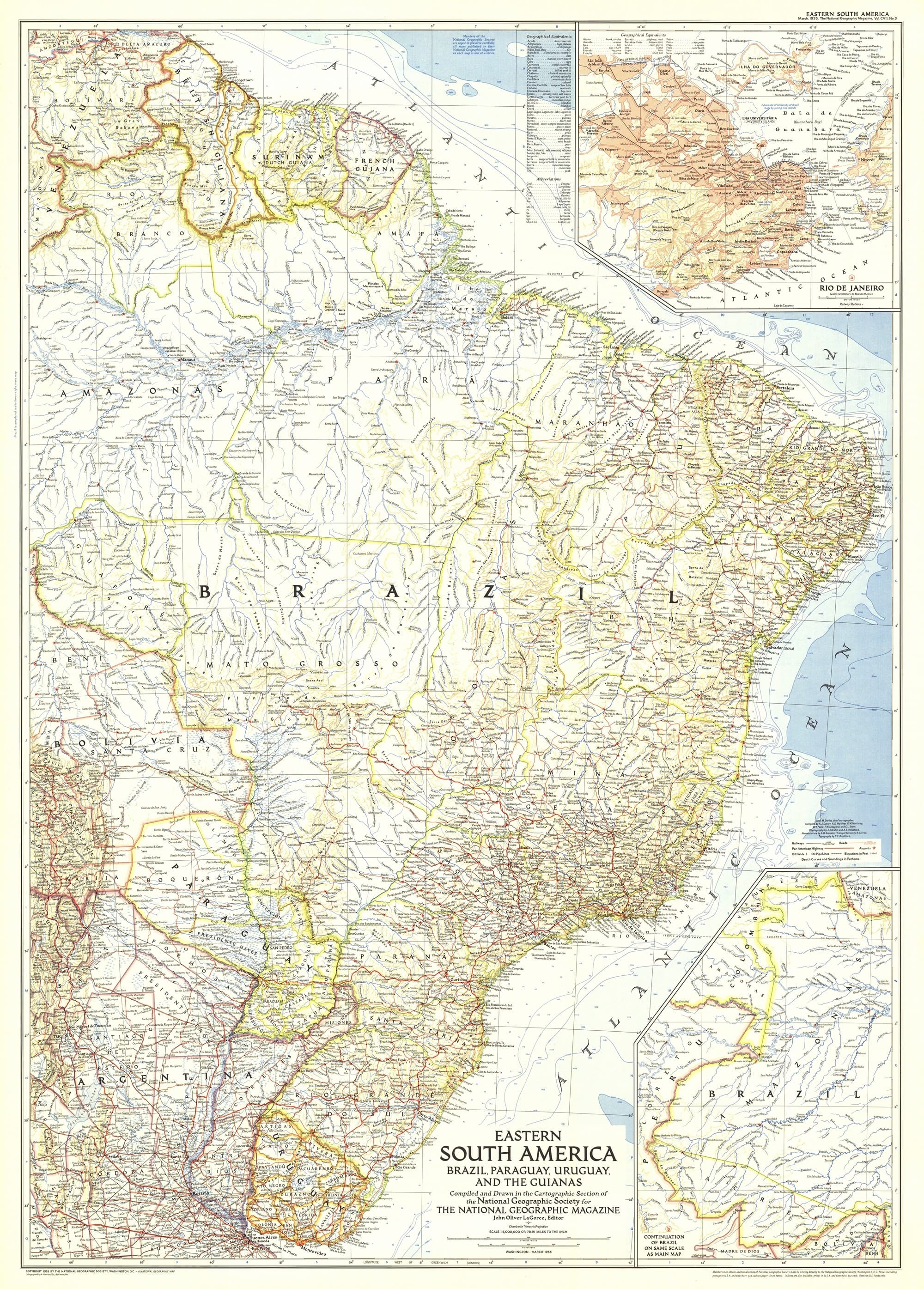
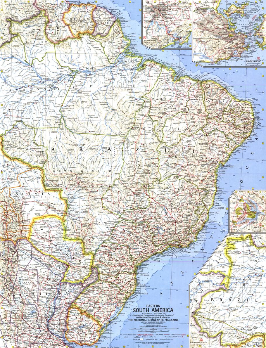
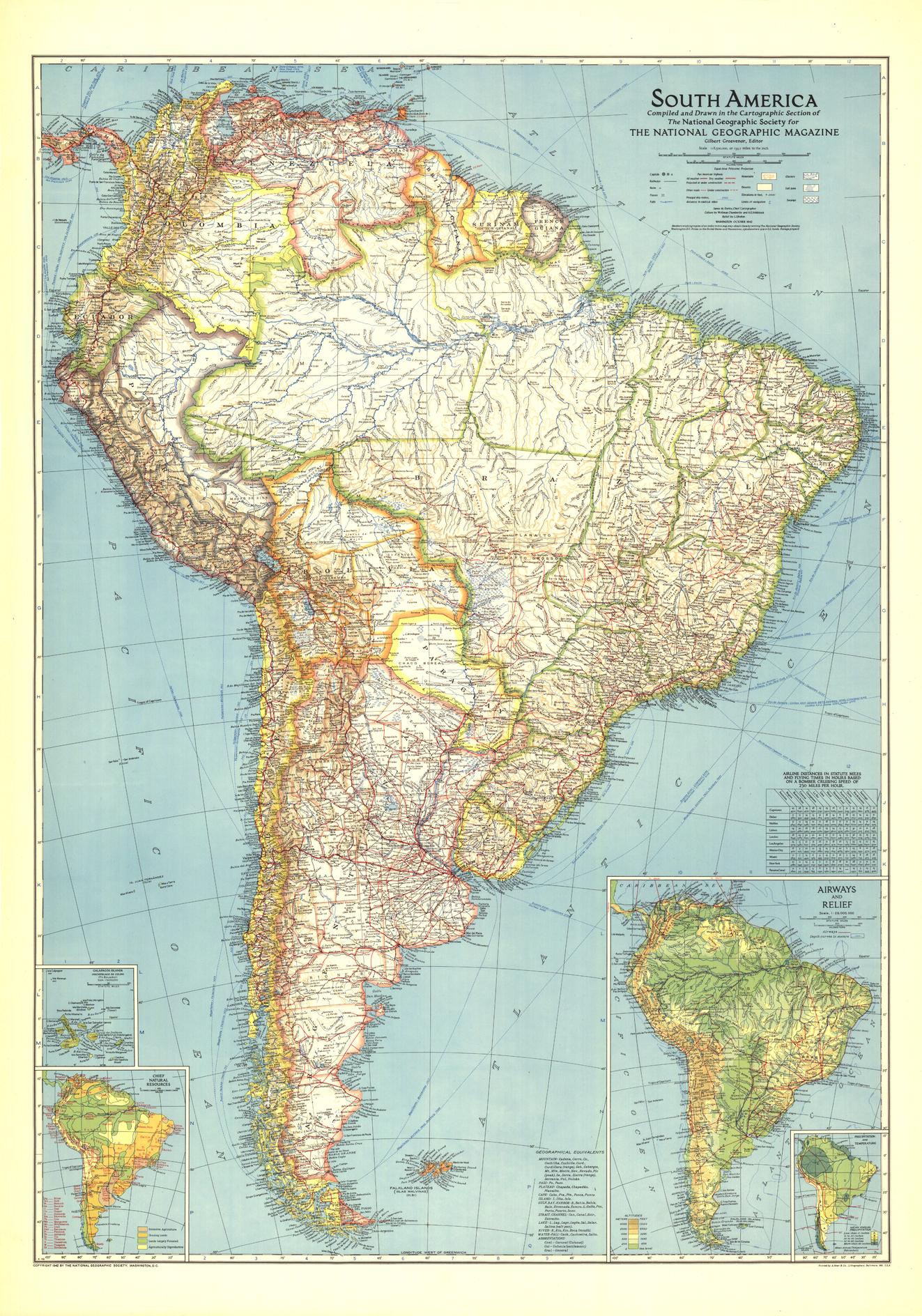
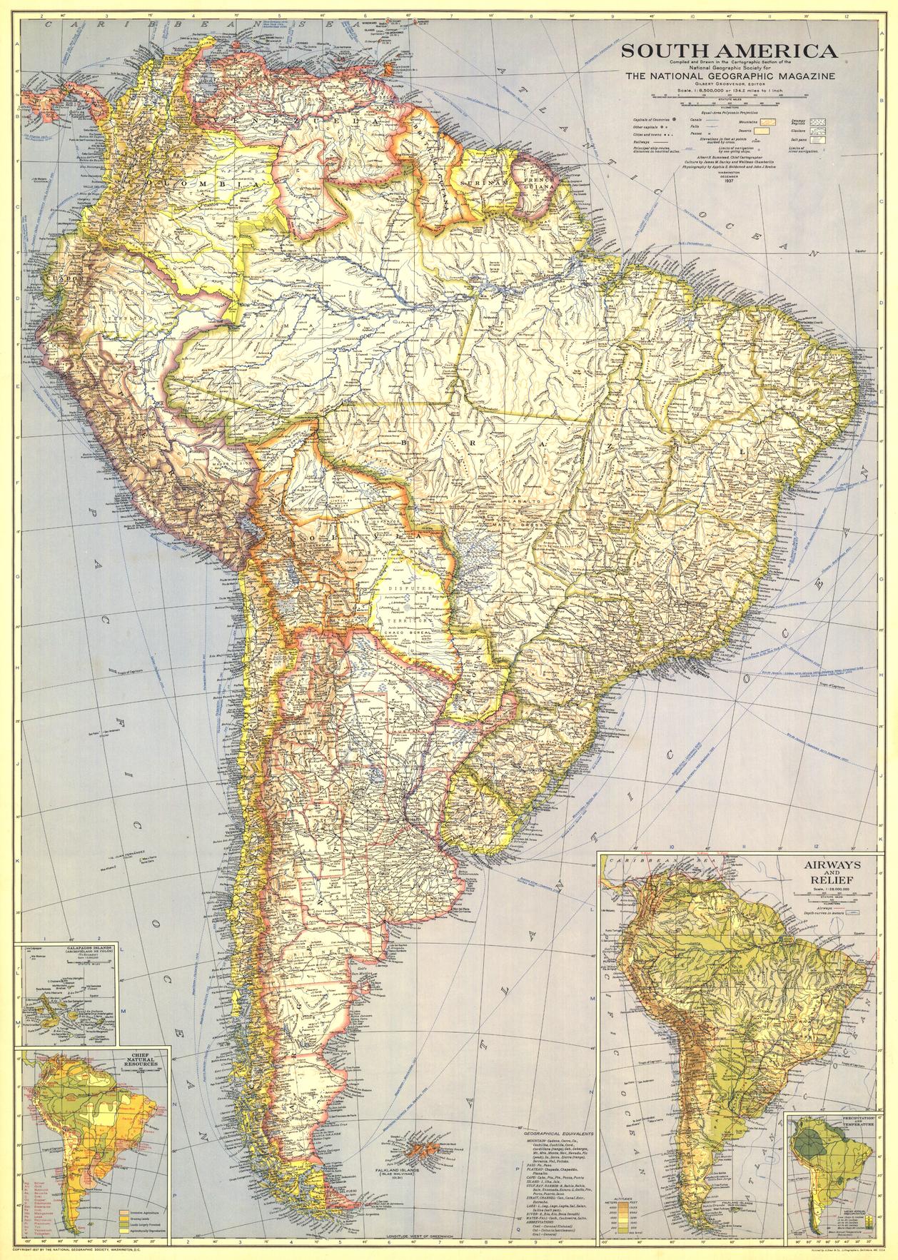
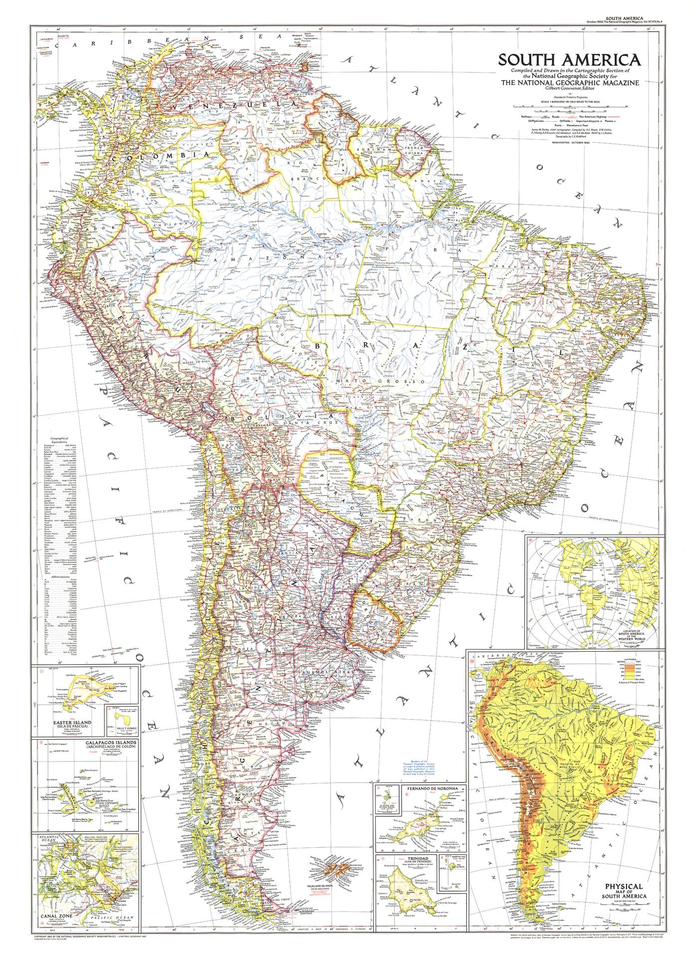
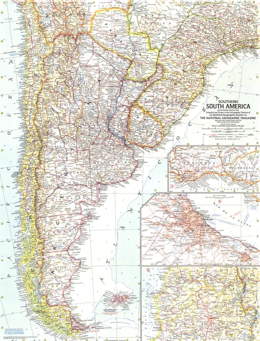
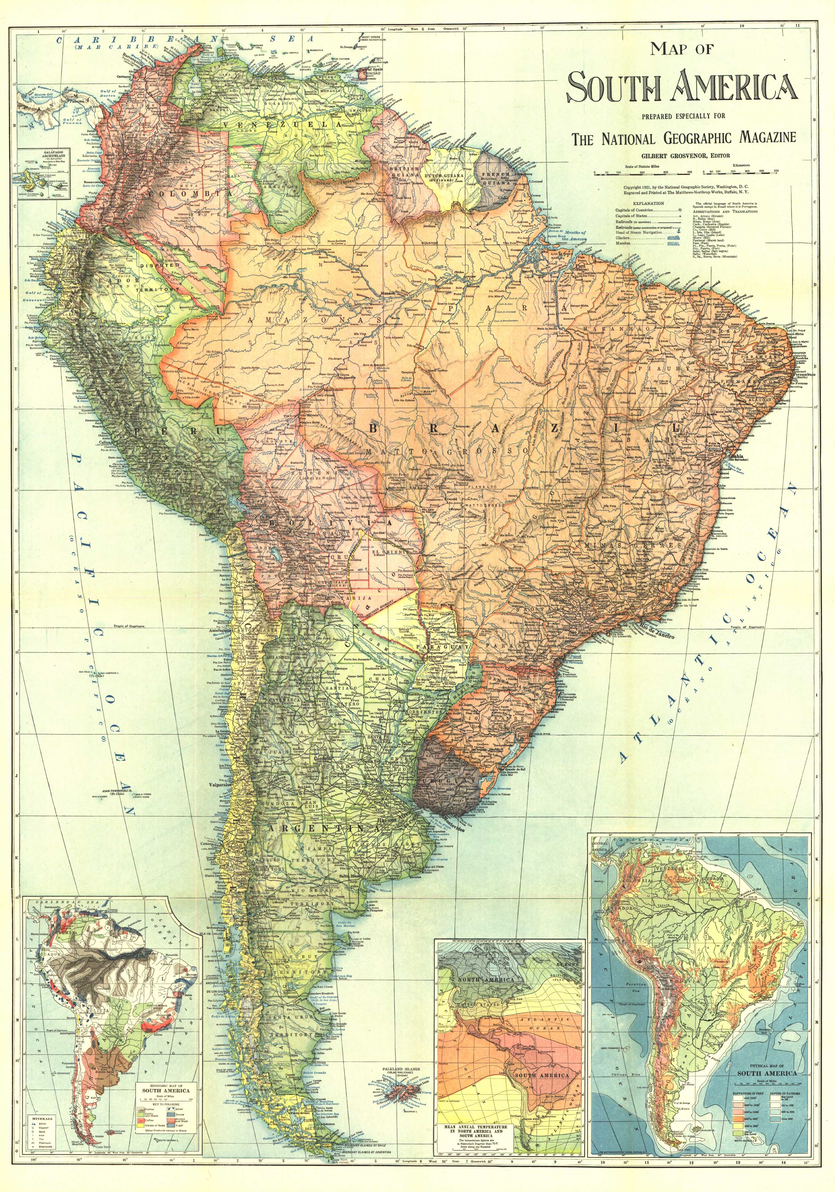
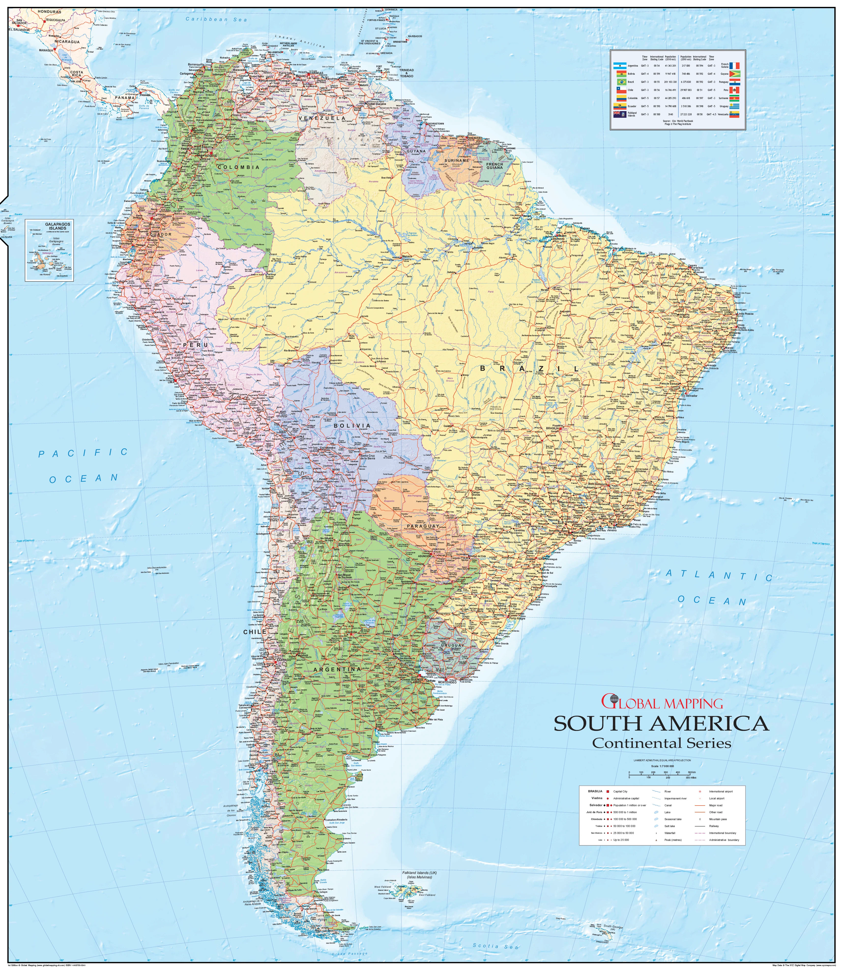
Published in August 2007 by National Geographic, this richly detailed physical map of Mexico and Central America explores both the present-day geography and the ancient tectonic story that forged it. Three inset maps trace the region’s geological birth, illustrating how the final pieces of Earth’s “continental jigsaw puzzle” locked into place to form what we now know as the Isthmus of Panama.
Originally part of a two-map set—paired with a political map of Mexico and Central America—this map stands alone as both an educational reference and a work of visual storytelling.
📐 Cartographic & Scientific Highlights
-
Detailed Physical Topography – Mountain ranges, coastal plains, volcanic belts, and seabed contours.
-
Geological Inset Series – Three maps illustrating the land bridge’s formation over millions of years.
-
Climate & Ocean Current Impacts – Insights into how the isthmus changed the world’s weather patterns.
-
National Geographic Design – Vibrant yet balanced colouring, easy-to-read fonts, and award-winning cartographic clarity.
🖌 Premium Print & Display Options
| Format | Description |
|---|---|
| Paper (160 gsm) | Heavyweight matte-coated paper – perfect for framing under glass. |
| Laminated | Fully encapsulated in 80-micron gloss laminate for durability and easy cleaning. |
| Laminated + Hang Rails | Laminated map fitted with natural timber hang rails and a hanging cord for instant display. |
| Canvas (395 gsm) | Museum-grade matte canvas printed with archival pigment inks for rich texture and fade resistance. |
| Canvas + Hang Rails | Canvas map mounted with natural timber hang rails for an elegant, heritage-style finish. |
Note: Please allow up to 10 working days for hang-railed maps, as these are professionally mounted by our framer.
🎯 Ideal For
-
Educators & Students – A fascinating combination of geography, geology, and climate science.
-
Historians & Naturalists – Context for one of the most important tectonic events in Earth’s recent history.
-
Map Collectors – A modern National Geographic collectible with a timeless design.
-
Interior Decorators – Adds colour, depth, and conversation-starting appeal to any wall.
🌟 Why This Map Stands Out
-
Scientific Depth – More than a map; it’s a geological case study.
-
National Geographic Prestige – Combining cartographic precision with compelling visual storytelling.
-
Made to Last – Produced in Australia with high-quality, archival-grade materials.
-
Versatile Display – Available in paper, laminate, or canvas formats to suit your space.
From the volcanic highlands of Guatemala to the reef-fringed coasts of Belize and the isthmus that changed the world, this map is both a stunning visual display and a captivating scientific narrative. Whether for a classroom, study, office, or collection, it’s a reminder of the powerful forces that have shaped our planet.
📍 Order today and own a piece of National Geographic cartographic excellence, capturing the moment the Americas became one.
Original: $42.89
-65%$42.89
$15.01Product Information
Product Information
Shipping & Returns
Shipping & Returns
Description
Published: 2007 | Scale: 1:5,810,000 | Size: 790 × 510 mm | Made in Australia
🌎 The Land Bridge That Changed the World
Three million years ago, the southern sweep of the North American continent met its southern neighbour in a geologic handshake that reshaped the planet. This event – the emergence of the land bridge between North and South America – divided a once-unified ocean into the Atlantic and Pacific, altering global ocean currents, reshaping climate systems, and creating a vital corridor for the exchange of species between continents.
Published in August 2007 by National Geographic, this richly detailed physical map of Mexico and Central America explores both the present-day geography and the ancient tectonic story that forged it. Three inset maps trace the region’s geological birth, illustrating how the final pieces of Earth’s “continental jigsaw puzzle” locked into place to form what we now know as the Isthmus of Panama.
Originally part of a two-map set—paired with a political map of Mexico and Central America—this map stands alone as both an educational reference and a work of visual storytelling.
📐 Cartographic & Scientific Highlights
-
Detailed Physical Topography – Mountain ranges, coastal plains, volcanic belts, and seabed contours.
-
Geological Inset Series – Three maps illustrating the land bridge’s formation over millions of years.
-
Climate & Ocean Current Impacts – Insights into how the isthmus changed the world’s weather patterns.
-
National Geographic Design – Vibrant yet balanced colouring, easy-to-read fonts, and award-winning cartographic clarity.
🖌 Premium Print & Display Options
| Format | Description |
|---|---|
| Paper (160 gsm) | Heavyweight matte-coated paper – perfect for framing under glass. |
| Laminated | Fully encapsulated in 80-micron gloss laminate for durability and easy cleaning. |
| Laminated + Hang Rails | Laminated map fitted with natural timber hang rails and a hanging cord for instant display. |
| Canvas (395 gsm) | Museum-grade matte canvas printed with archival pigment inks for rich texture and fade resistance. |
| Canvas + Hang Rails | Canvas map mounted with natural timber hang rails for an elegant, heritage-style finish. |
Note: Please allow up to 10 working days for hang-railed maps, as these are professionally mounted by our framer.
🎯 Ideal For
-
Educators & Students – A fascinating combination of geography, geology, and climate science.
-
Historians & Naturalists – Context for one of the most important tectonic events in Earth’s recent history.
-
Map Collectors – A modern National Geographic collectible with a timeless design.
-
Interior Decorators – Adds colour, depth, and conversation-starting appeal to any wall.
🌟 Why This Map Stands Out
-
Scientific Depth – More than a map; it’s a geological case study.
-
National Geographic Prestige – Combining cartographic precision with compelling visual storytelling.
-
Made to Last – Produced in Australia with high-quality, archival-grade materials.
-
Versatile Display – Available in paper, laminate, or canvas formats to suit your space.
From the volcanic highlands of Guatemala to the reef-fringed coasts of Belize and the isthmus that changed the world, this map is both a stunning visual display and a captivating scientific narrative. Whether for a classroom, study, office, or collection, it’s a reminder of the powerful forces that have shaped our planet.
📍 Order today and own a piece of National Geographic cartographic excellence, capturing the moment the Americas became one.