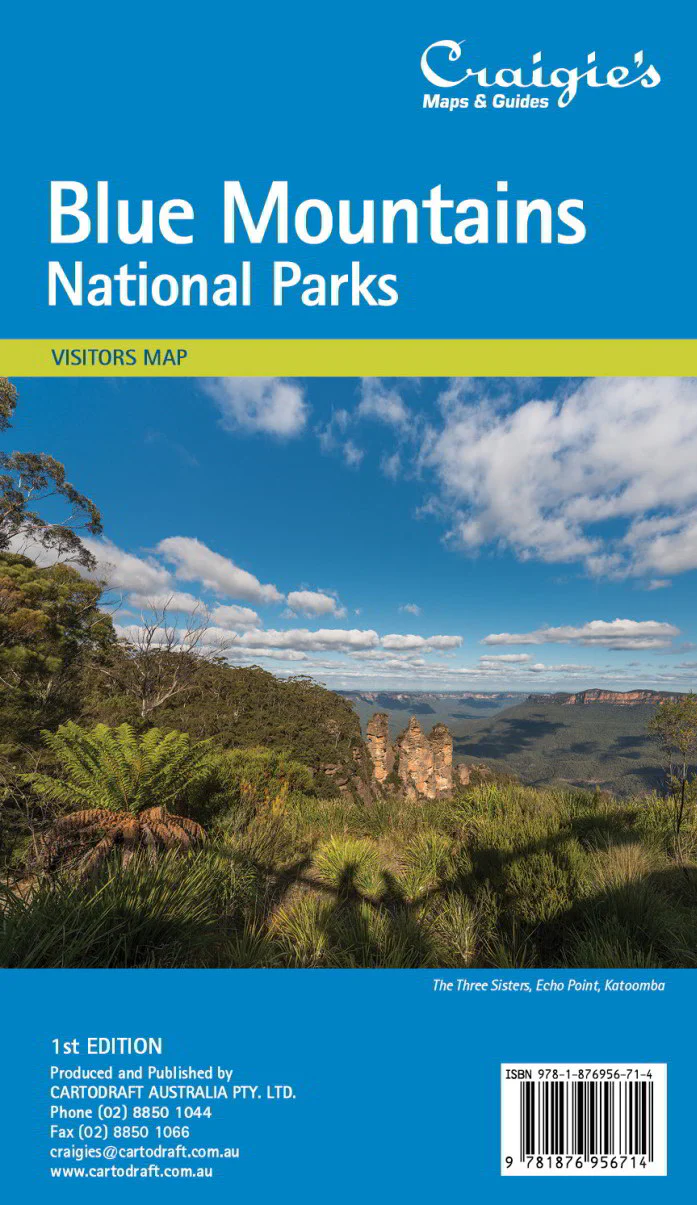
Blue Mountains Craigies Map
Blue Mountains Map by Craigies
Your essential guide to exploring one of Australia's most iconic and breathtaking natural regions
Discover the rugged escarpments, dramatic valleys, and charming villages of the Blue Mountains with this updated edition of the Craigies Blue Mountains Map — a trusted favourite among travellers, hikers, and locals alike. Designed for maximum clarity and ease of use, this map is the perfect tool for navigating the world-heritage-listed Blue Mountains region, whether you’re driving, walking, or planning an unforgettable weekend escape.
🧭 Why Choose This Map?
This newly revised edition captures the full scope of the Blue Mountains area with accurate, up-to-date cartographic detail. It’s ideal for:
-
Tourists seeking the best lookouts, walks, and towns
-
Hikers and nature lovers venturing into national parks
-
Road trippers mapping scenic drives and villages
-
Locals looking for a reliable regional reference
📍 Coverage Area
The map includes detailed coverage of the Greater Blue Mountains region, including:
-
Katoomba, Leura, and Blackheath
-
Wentworth Falls, Lawson, and Springwood
-
Mount Victoria, Lithgow, and Hartley
-
Bells Line of Road and the Grose Valley
-
Jenolan Caves, Megalong Valley, and the Kanangra-Boyd wilderness
National park boundaries, towns, walking trails, and scenic spots are all clearly marked, making this map invaluable for both casual sightseeing and more ambitious bushwalking adventures.
🌿 Features & Highlights
-
✔️ Full regional road network, including major highways and local access roads
-
✔️ Walking tracks and bushwalking areas marked throughout the Blue Mountains National Park
-
✔️ Tourist attractions, lookouts, waterfalls, picnic areas, and campgrounds
-
✔️ Town maps and village layouts for key areas such as Katoomba, Leura, and Lithgow
-
✔️ Distances between key points to assist with travel planning
-
✔️ Natural features including escarpments, valleys, rivers, and reserves
-
✔️ Elevation and relief shading to illustrate the terrain
-
✔️ Points of interest including the Three Sisters, Govetts Leap, Echo Point, Scenic World, and Jenolan Caves
📝 Product Details
| Specification | Details |
|---|---|
| Title | Blue Mountains Map |
| Publisher | Craigies Maps |
| Edition | Latest Edition |
| Coverage | Blue Mountains & Surrounding Region |
| Printed in | Australia |
| Format | Folded paper map |
| Flat Size | Approx. 700 mm (W) × 1000 mm (H) |
| Scale | Regional scale for road and trail use |
🎯 Perfect For:
-
🧳 Tourists visiting Echo Point, the Three Sisters, and Scenic World
-
🥾 Hikers trekking the National Pass, Grand Canyon Walk, or Six Foot Track
-
🚗 Day-trippers following Bells Line of Road or Great Western Highway
-
🏡 Locals and real estate professionals seeking geographic context
-
🎒 Students, schools, and educational groups learning about natural landscapes
-
🏕️ Campers and caravanners looking for overnight options in nature
Explore the Blue Mountains with Confidence
With its blend of rugged wilderness and welcoming towns, the Blue Mountains region is a destination that inspires awe and adventure. Let the Craigies Blue Mountains Map be your guide to hidden waterfalls, sweeping vistas, and peaceful bushland escapes.
Navigate the ridges. Discover the valleys. Take the high road — with Craigies
Product Information
Product Information
Shipping & Returns
Shipping & Returns
Description
Blue Mountains Map by Craigies
Your essential guide to exploring one of Australia's most iconic and breathtaking natural regions
Discover the rugged escarpments, dramatic valleys, and charming villages of the Blue Mountains with this updated edition of the Craigies Blue Mountains Map — a trusted favourite among travellers, hikers, and locals alike. Designed for maximum clarity and ease of use, this map is the perfect tool for navigating the world-heritage-listed Blue Mountains region, whether you’re driving, walking, or planning an unforgettable weekend escape.
🧭 Why Choose This Map?
This newly revised edition captures the full scope of the Blue Mountains area with accurate, up-to-date cartographic detail. It’s ideal for:
-
Tourists seeking the best lookouts, walks, and towns
-
Hikers and nature lovers venturing into national parks
-
Road trippers mapping scenic drives and villages
-
Locals looking for a reliable regional reference
📍 Coverage Area
The map includes detailed coverage of the Greater Blue Mountains region, including:
-
Katoomba, Leura, and Blackheath
-
Wentworth Falls, Lawson, and Springwood
-
Mount Victoria, Lithgow, and Hartley
-
Bells Line of Road and the Grose Valley
-
Jenolan Caves, Megalong Valley, and the Kanangra-Boyd wilderness
National park boundaries, towns, walking trails, and scenic spots are all clearly marked, making this map invaluable for both casual sightseeing and more ambitious bushwalking adventures.
🌿 Features & Highlights
-
✔️ Full regional road network, including major highways and local access roads
-
✔️ Walking tracks and bushwalking areas marked throughout the Blue Mountains National Park
-
✔️ Tourist attractions, lookouts, waterfalls, picnic areas, and campgrounds
-
✔️ Town maps and village layouts for key areas such as Katoomba, Leura, and Lithgow
-
✔️ Distances between key points to assist with travel planning
-
✔️ Natural features including escarpments, valleys, rivers, and reserves
-
✔️ Elevation and relief shading to illustrate the terrain
-
✔️ Points of interest including the Three Sisters, Govetts Leap, Echo Point, Scenic World, and Jenolan Caves
📝 Product Details
| Specification | Details |
|---|---|
| Title | Blue Mountains Map |
| Publisher | Craigies Maps |
| Edition | Latest Edition |
| Coverage | Blue Mountains & Surrounding Region |
| Printed in | Australia |
| Format | Folded paper map |
| Flat Size | Approx. 700 mm (W) × 1000 mm (H) |
| Scale | Regional scale for road and trail use |
🎯 Perfect For:
-
🧳 Tourists visiting Echo Point, the Three Sisters, and Scenic World
-
🥾 Hikers trekking the National Pass, Grand Canyon Walk, or Six Foot Track
-
🚗 Day-trippers following Bells Line of Road or Great Western Highway
-
🏡 Locals and real estate professionals seeking geographic context
-
🎒 Students, schools, and educational groups learning about natural landscapes
-
🏕️ Campers and caravanners looking for overnight options in nature
Explore the Blue Mountains with Confidence
With its blend of rugged wilderness and welcoming towns, the Blue Mountains region is a destination that inspires awe and adventure. Let the Craigies Blue Mountains Map be your guide to hidden waterfalls, sweeping vistas, and peaceful bushland escapes.
Navigate the ridges. Discover the valleys. Take the high road — with Craigies