Cardiff A-Z 1136 x 920mm Wall Map
A Detailed Street Map of Cardiff and Surrounding Districts
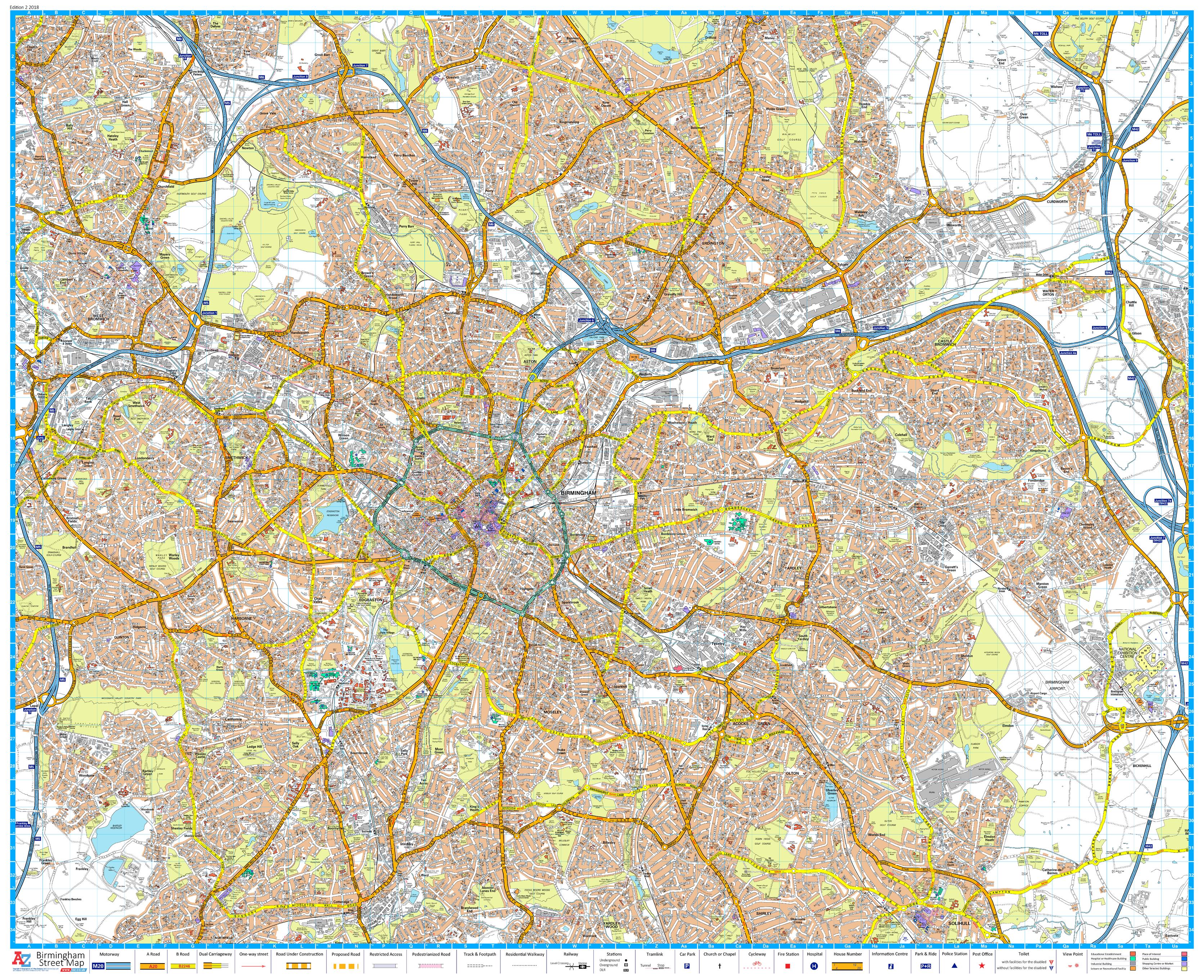
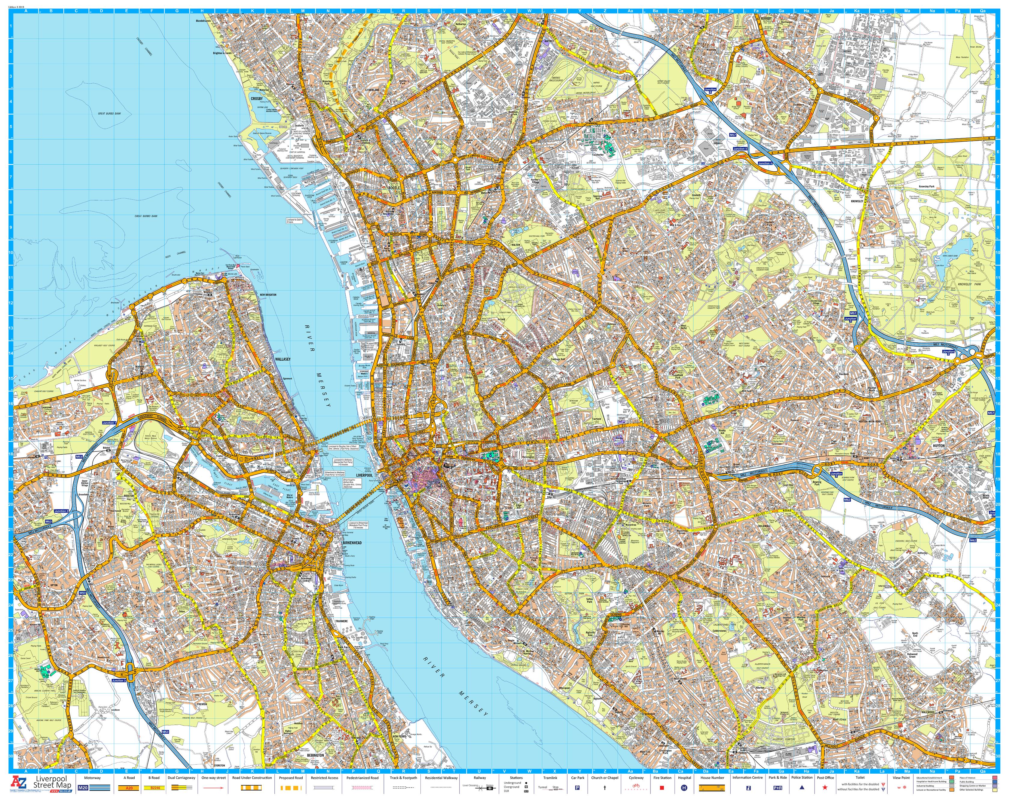
This Cardiff A-Z Wall Map offers comprehensive, full-colour street-level coverage of Wales’ capital and its surrounding suburbs. Published by the renowned Geographers’ A-Z Map Company, this large-format wall map brings clarity, function, and style to any setting—ideal for logistics, education, property planning, or simply celebrating your connection to Cardiff.
Printed on a single flat sheet for clean display, this map provides rich cartographic detail for every road, park, dock, and neighbourhood across the city.
🏙️ Areas Covered
This detailed A-Z map includes:
-
Central Cardiff
-
Cardiff Bay & Docks
-
Penarth
-
Ely (Trelái)
-
Llandaff
-
Whitchurch (Yr Eglwys Newydd)
-
St Mellons
-
Rumney (Rhymni)
-
Llanishen (Llanisien)
-
Radyr (Radur)
-
Pentyrch
-
Michaelston-super-Ely
-
St Fagans (Sain Ffagan)
-
Morganstown (Treforgan)
-
Wenvoe (Gwenfô)
-
Marshfield (Maerun)
-
Dinas Powys
📌 Map Features
| ✅ Feature | 📋 Details |
|---|---|
| Publisher | Geographers’ A-Z Map Company |
| Cartography | High-resolution, full-colour street detail |
| Indexing | Streets and neighbourhoods clearly labelled |
| Welsh & English Place Names | Bilingual coverage enhances cultural relevance |
| Postcode & Boundary Data | Includes postcode district overlays |
| Edition | Published 2018 |
🖼️ Format Options
Choose from a variety of high-quality formats to suit your space and purpose:
| 🎨 Format | 📌 Details |
|---|---|
| Paper (Unlaminated) | Crisp finish ideal for framing under glass |
| Laminated | Gloss-laminated for durability, wipeable surface for dry-erase use |
| Laminated with Hang Rails | Pre-mounted with wooden rails and a hanging cord |
| Canvas | Printed on luxurious 395gsm HP matte canvas |
| Canvas with Timber Rails | Canvas mounted with handcrafted timber rails and cord for elegant hanging |
📐 Specifications
| 📏 Specification | 📍 Details |
|---|---|
| Map Title | Cardiff A-Z Wall Map |
| Scale | 1:15,840 |
| Dimensions | 1136 mm (W) × 920 mm (H) |
| Orientation | Landscape |
| Print Format | Single-sheet wall map |
| Published | 2018 |
🎯 Perfect For
| 👤 User | 💼 Application |
|---|---|
| Local Businesses | Define service areas and delivery routes |
| Schools & Colleges | Teach local geography and civic knowledge |
| Estate Agents & Planners | Showcase neighbourhoods and infrastructure |
| Government & Councils | Use for area planning, signage, and zoning |
| Proud Locals | Display your city with pride and clarity |
🗺️ From the elegant streets of Penarth to the vibrant culture of Cardiff Bay—this map reveals the soul of the Welsh capital in striking, street-level detail.
Please allow up to 10 working days for delivery of hang-railed maps, as they are custom-mounted by our professional framer.
👉 Select your format and bring Cardiff’s story to life on your wall today.
Original: $50.05
-65%$50.05
$17.52Product Information
Product Information
Shipping & Returns
Shipping & Returns
Description
A Detailed Street Map of Cardiff and Surrounding Districts
This Cardiff A-Z Wall Map offers comprehensive, full-colour street-level coverage of Wales’ capital and its surrounding suburbs. Published by the renowned Geographers’ A-Z Map Company, this large-format wall map brings clarity, function, and style to any setting—ideal for logistics, education, property planning, or simply celebrating your connection to Cardiff.
Printed on a single flat sheet for clean display, this map provides rich cartographic detail for every road, park, dock, and neighbourhood across the city.
🏙️ Areas Covered
This detailed A-Z map includes:
-
Central Cardiff
-
Cardiff Bay & Docks
-
Penarth
-
Ely (Trelái)
-
Llandaff
-
Whitchurch (Yr Eglwys Newydd)
-
St Mellons
-
Rumney (Rhymni)
-
Llanishen (Llanisien)
-
Radyr (Radur)
-
Pentyrch
-
Michaelston-super-Ely
-
St Fagans (Sain Ffagan)
-
Morganstown (Treforgan)
-
Wenvoe (Gwenfô)
-
Marshfield (Maerun)
-
Dinas Powys
📌 Map Features
| ✅ Feature | 📋 Details |
|---|---|
| Publisher | Geographers’ A-Z Map Company |
| Cartography | High-resolution, full-colour street detail |
| Indexing | Streets and neighbourhoods clearly labelled |
| Welsh & English Place Names | Bilingual coverage enhances cultural relevance |
| Postcode & Boundary Data | Includes postcode district overlays |
| Edition | Published 2018 |
🖼️ Format Options
Choose from a variety of high-quality formats to suit your space and purpose:
| 🎨 Format | 📌 Details |
|---|---|
| Paper (Unlaminated) | Crisp finish ideal for framing under glass |
| Laminated | Gloss-laminated for durability, wipeable surface for dry-erase use |
| Laminated with Hang Rails | Pre-mounted with wooden rails and a hanging cord |
| Canvas | Printed on luxurious 395gsm HP matte canvas |
| Canvas with Timber Rails | Canvas mounted with handcrafted timber rails and cord for elegant hanging |
📐 Specifications
| 📏 Specification | 📍 Details |
|---|---|
| Map Title | Cardiff A-Z Wall Map |
| Scale | 1:15,840 |
| Dimensions | 1136 mm (W) × 920 mm (H) |
| Orientation | Landscape |
| Print Format | Single-sheet wall map |
| Published | 2018 |
🎯 Perfect For
| 👤 User | 💼 Application |
|---|---|
| Local Businesses | Define service areas and delivery routes |
| Schools & Colleges | Teach local geography and civic knowledge |
| Estate Agents & Planners | Showcase neighbourhoods and infrastructure |
| Government & Councils | Use for area planning, signage, and zoning |
| Proud Locals | Display your city with pride and clarity |
🗺️ From the elegant streets of Penarth to the vibrant culture of Cardiff Bay—this map reveals the soul of the Welsh capital in striking, street-level detail.
Please allow up to 10 working days for delivery of hang-railed maps, as they are custom-mounted by our professional framer.
👉 Select your format and bring Cardiff’s story to life on your wall today.