Leicester A-Z 920 x 1125mm Wall Map
Detailed Street-Level Mapping of Leicester and Surrounding Suburbs
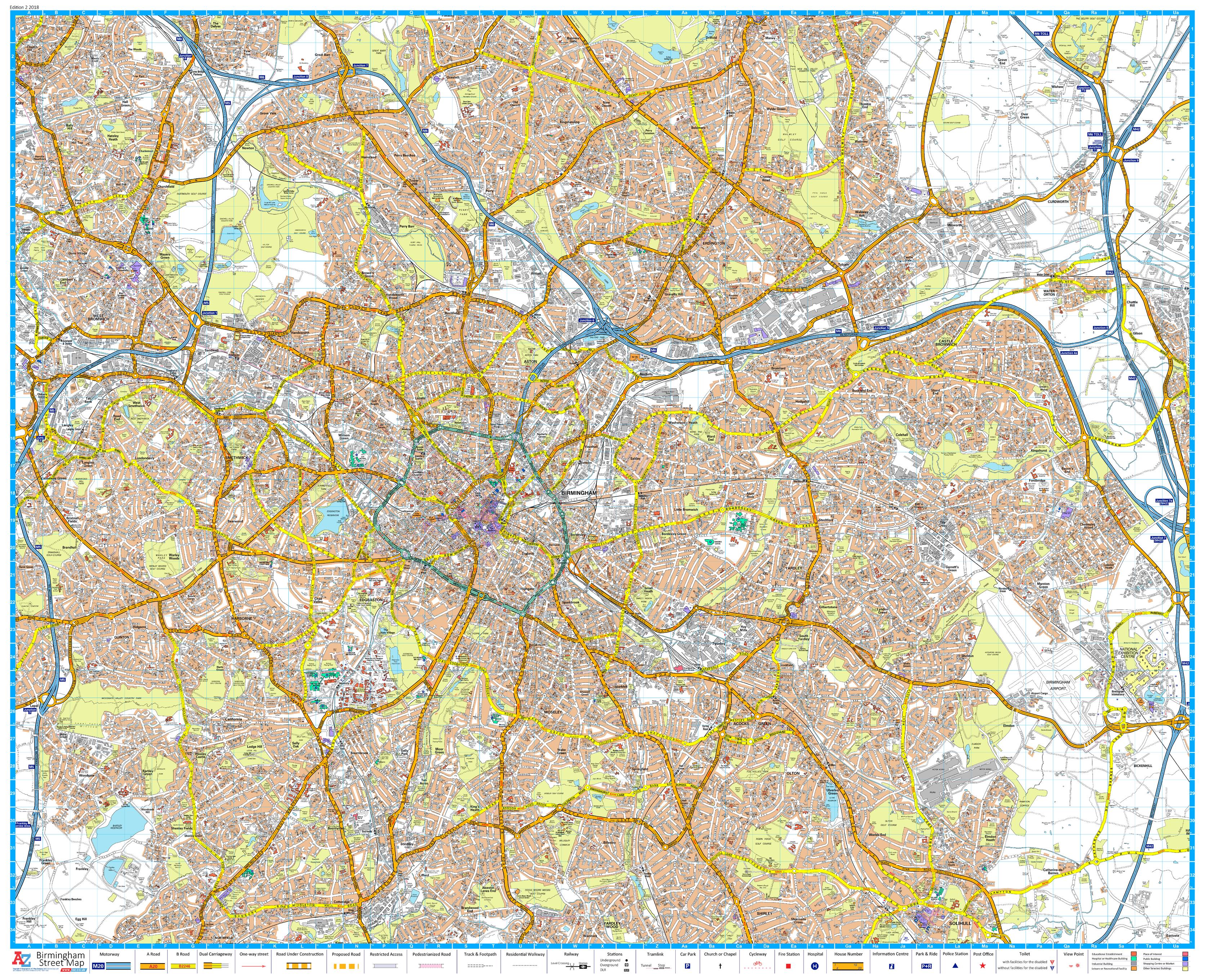
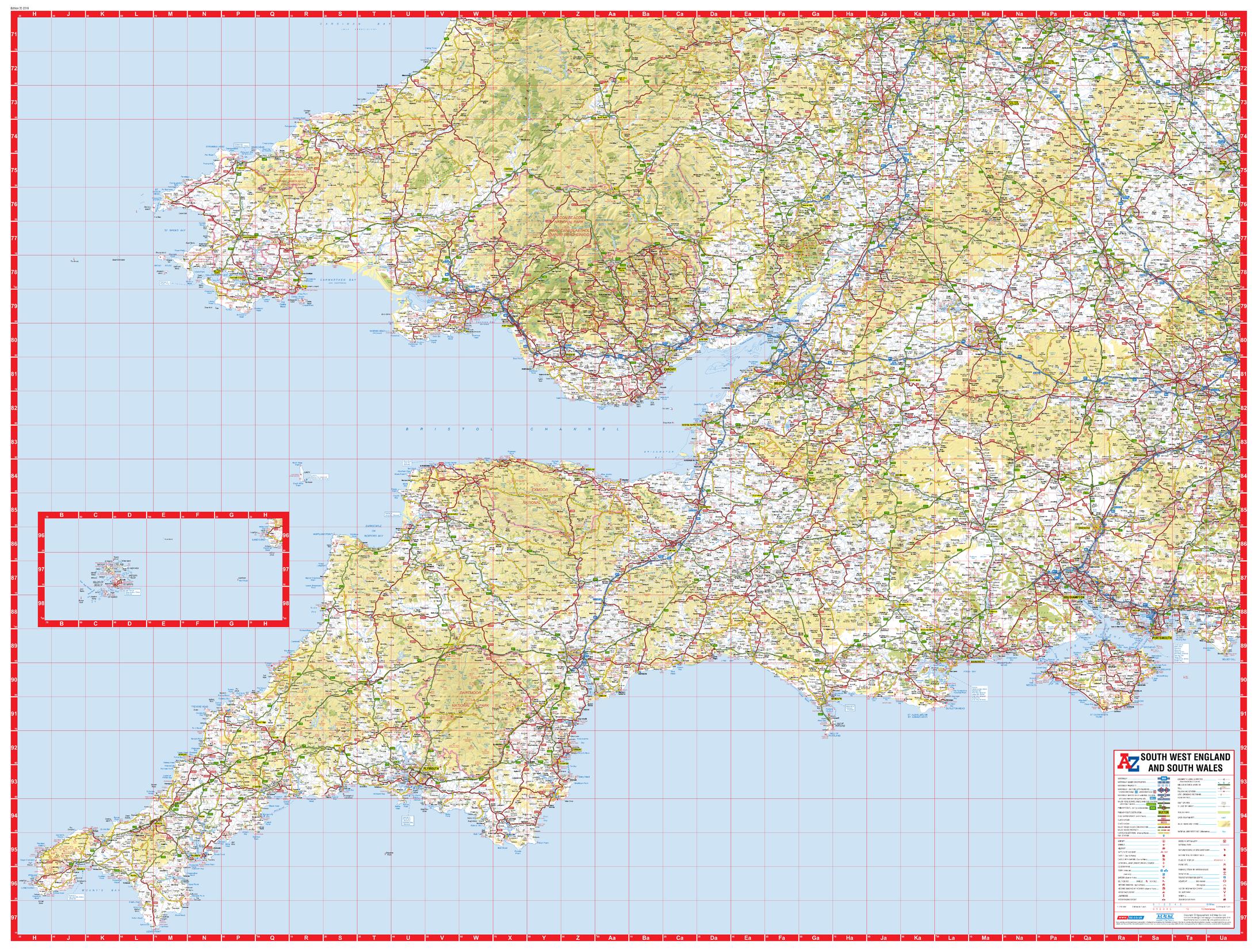
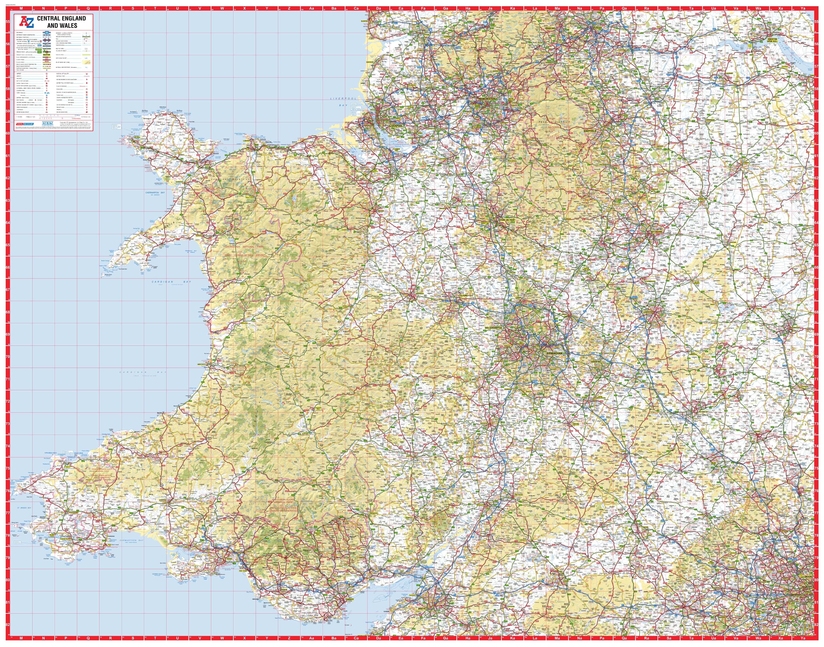
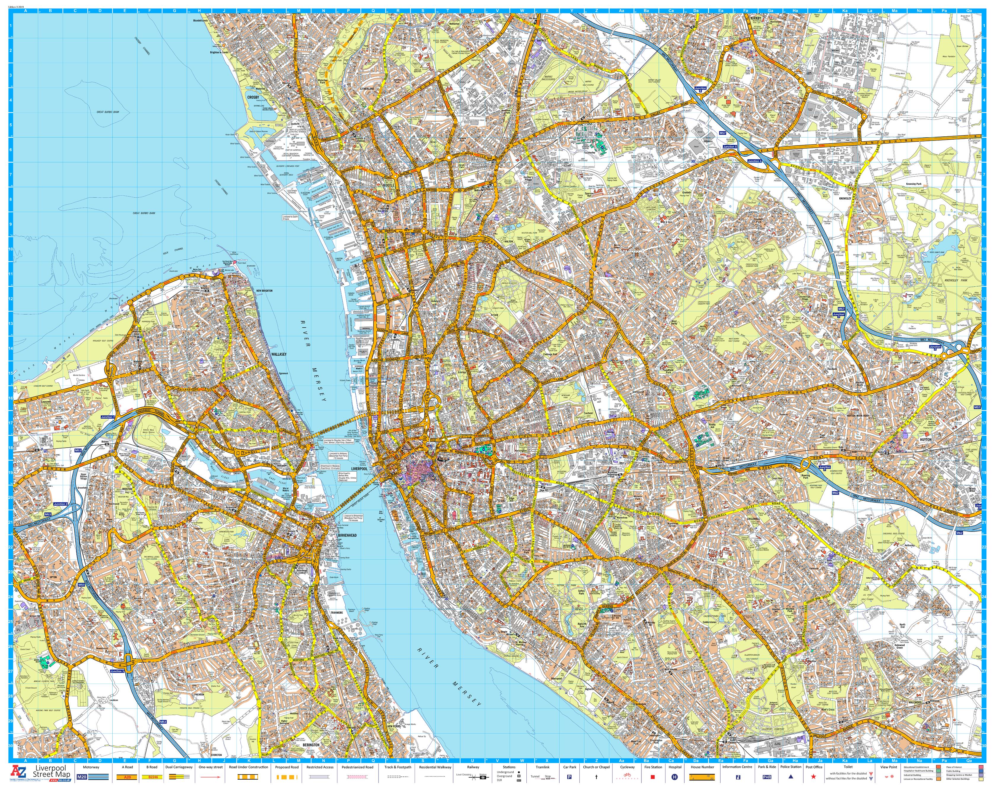
Navigate the heart of the East Midlands with precision using this A-Z Street Map of Leicester. Presented in a large-format wall display, this map offers comprehensive street-level detail for Leicester and its key suburbs—ideal for business planning, public display, or local navigation.
Whether you're managing deliveries, teaching urban geography, or decorating a workspace, this high-quality wall map brings clarity and accuracy to one of England’s most dynamic cities.
🏙️ Area Coverage
This wall map includes full street mapping for:
-
Leicester City Centre
-
Anstey
-
Belgrave
-
Birstall
-
Blaby
-
Braunstone Town
-
Cropston
-
Enderby
-
Glenfield
-
Glen Parva
-
Groby (part)
-
Narborough
-
Oadby
-
Syston
-
Thurcaston
-
Thurmaston
-
Wigston
🧭 Key Features
| ✅ Feature | 📋 Details |
|---|---|
| Street-Level Mapping | Highly detailed with A-Z’s signature clear layout |
| Postcode Boundaries | Useful for mail delivery, logistics, and planning |
| Index-Free Format | Streets are labelled directly on the map for quick reference |
| One-Sheet Display | No folds or joins – perfect for clean wall mounting |
| Published | 2016 edition with accurate detail for the time of publication |
🖼️ Format Options
Available in multiple finishes to suit your needs:
| 🖨️ Format | ✨ Details |
|---|---|
| Paper (Unlaminated) | Perfect for framing or mounting behind glass |
| Laminated | Gloss-laminated surface allows whiteboard marker use |
| Laminated with Hang Rails | Includes wooden rails and hanging cord |
| Canvas | Printed on museum-grade 395gsm matte canvas |
| Canvas with Wooden Hang Rails | Delivered ready-to-hang with natural timber rails |
📐 Specifications
| 📏 Specification | 📍 Details |
|---|---|
| Map Title | Leicester A-Z Wall Map |
| Publisher | Geographers’ A-Z Map Company |
| Edition | 2016 |
| Scale | 1:15,840 |
| Dimensions | 920 mm (W) × 1125 mm (H) |
| Orientation | Portrait |
| Print Quality | High-resolution full-colour |
🎯 Who’s It For?
| 👤 User | 💼 Application |
|---|---|
| Businesses & Couriers | Plan delivery routes and service zones |
| Real Estate Offices | Show property locations and local context |
| Local Authorities & Councils | Urban planning, zoning and infrastructure mapping |
| Schools & Universities | Teach local geography and spatial awareness |
| Home & Office Decorators | Add an informative focal point to your walls |
📍 Whether you're based in Leicester or simply need a clear visual reference to the city and its surrounds, this A-Z wall map delivers both detail and aesthetic appeal.
Please allow up to 10 working days for delivery of hang-railed maps, as they are custom-mounted by our professional framer.
👉 Select your format above and bring the East Midlands to your wall.
Original: $50.05
-65%$50.05
$17.52Product Information
Product Information
Shipping & Returns
Shipping & Returns
Description
Detailed Street-Level Mapping of Leicester and Surrounding Suburbs
Navigate the heart of the East Midlands with precision using this A-Z Street Map of Leicester. Presented in a large-format wall display, this map offers comprehensive street-level detail for Leicester and its key suburbs—ideal for business planning, public display, or local navigation.
Whether you're managing deliveries, teaching urban geography, or decorating a workspace, this high-quality wall map brings clarity and accuracy to one of England’s most dynamic cities.
🏙️ Area Coverage
This wall map includes full street mapping for:
-
Leicester City Centre
-
Anstey
-
Belgrave
-
Birstall
-
Blaby
-
Braunstone Town
-
Cropston
-
Enderby
-
Glenfield
-
Glen Parva
-
Groby (part)
-
Narborough
-
Oadby
-
Syston
-
Thurcaston
-
Thurmaston
-
Wigston
🧭 Key Features
| ✅ Feature | 📋 Details |
|---|---|
| Street-Level Mapping | Highly detailed with A-Z’s signature clear layout |
| Postcode Boundaries | Useful for mail delivery, logistics, and planning |
| Index-Free Format | Streets are labelled directly on the map for quick reference |
| One-Sheet Display | No folds or joins – perfect for clean wall mounting |
| Published | 2016 edition with accurate detail for the time of publication |
🖼️ Format Options
Available in multiple finishes to suit your needs:
| 🖨️ Format | ✨ Details |
|---|---|
| Paper (Unlaminated) | Perfect for framing or mounting behind glass |
| Laminated | Gloss-laminated surface allows whiteboard marker use |
| Laminated with Hang Rails | Includes wooden rails and hanging cord |
| Canvas | Printed on museum-grade 395gsm matte canvas |
| Canvas with Wooden Hang Rails | Delivered ready-to-hang with natural timber rails |
📐 Specifications
| 📏 Specification | 📍 Details |
|---|---|
| Map Title | Leicester A-Z Wall Map |
| Publisher | Geographers’ A-Z Map Company |
| Edition | 2016 |
| Scale | 1:15,840 |
| Dimensions | 920 mm (W) × 1125 mm (H) |
| Orientation | Portrait |
| Print Quality | High-resolution full-colour |
🎯 Who’s It For?
| 👤 User | 💼 Application |
|---|---|
| Businesses & Couriers | Plan delivery routes and service zones |
| Real Estate Offices | Show property locations and local context |
| Local Authorities & Councils | Urban planning, zoning and infrastructure mapping |
| Schools & Universities | Teach local geography and spatial awareness |
| Home & Office Decorators | Add an informative focal point to your walls |
📍 Whether you're based in Leicester or simply need a clear visual reference to the city and its surrounds, this A-Z wall map delivers both detail and aesthetic appeal.
Please allow up to 10 working days for delivery of hang-railed maps, as they are custom-mounted by our professional framer.
👉 Select your format above and bring the East Midlands to your wall.