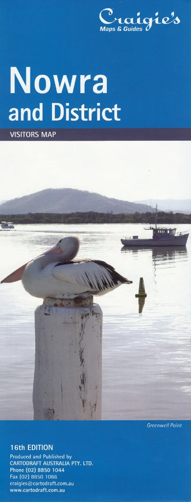
New South Wales Hema Handy Map 15th Edition
Compact, comprehensive, and built for the road — your essential travel map for touring New South Wales.
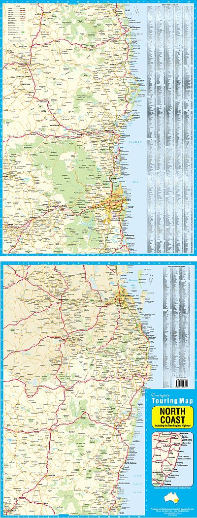
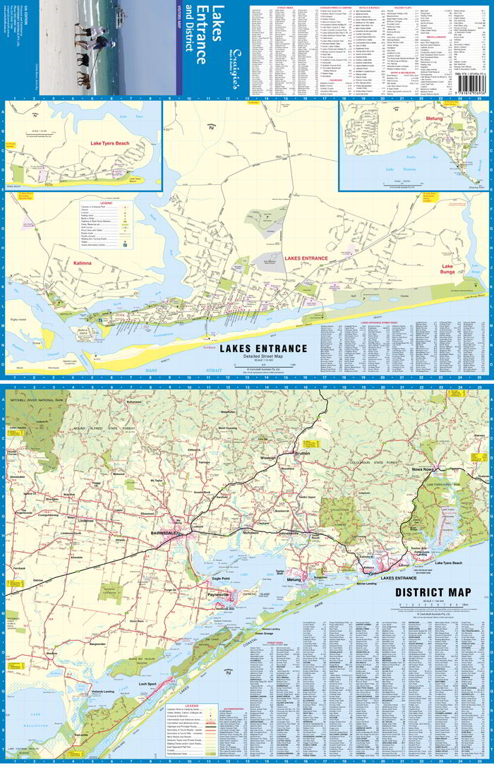
Whether you're towing a van across the Great Dividing Range, camping in a national park, or road-tripping along the coast, the New South Wales Hema Handy Map (15th Edition) is the perfect glovebox companion for your journey. This folded state map offers a detailed overview of New South Wales, highlighting all the key information needed by campers, caravanners, and touring travellers.
Designed with Hema's trademark clarity and attention to detail, this updated edition includes road networks, rest stops, national parks, and fuel availability, making it an indispensable tool for safe and enjoyable travel across the state.
🌟 Key Features
| ✅ Feature | 📍 Description |
|---|---|
| ⛺ Camping Areas | Marked throughout the state, including national parks and roadside stops |
| 🛻 Caravan Parks | Identified for easy overnight planning |
| 🛑 Rest Areas | Including day use and overnight rest zones |
| ⛽ Fuel Locations | 24-hour fuel and outback fuel stops clearly marked |
| 🗺️ Touring Detail | Includes sealed and unsealed roads, state highways, and major routes |
| 🌳 National Parks | Highlighted for easy access to natural attractions and walking trails |
| 📌 Points of Interest | Cultural landmarks, lookouts, historic sites, and more |
| 📖 Town Index | Full index of towns and localities for fast reference |
| 📏 Distance Grid | Quick and easy guide to plan your driving distances |
📐 Map Specifications
| Detail | Specification |
|---|---|
| Edition | 15th Edition |
| Publisher | Hema Maps |
| Flat Size | 500 mm (H) × 750 mm (W) |
| Folded Size | Compact and travel-ready |
| Map Style | Folded, single-sided |
| Printing | Full-colour, easy-to-read layout |
🎯 Ideal For:
-
🚐 Caravanners & Vanlifers navigating New South Wales roads
-
⛺ Campers planning stays in national parks and rural sites
-
🚗 Weekend Road Trippers looking for scenic routes and stopovers
-
🧳 Interstate Travellers exploring the east coast or outback NSW
-
📚 Students, Teachers & Tour Operators using it as a reference tool
🧭 Why Choose the Hema Handy Map?
-
✔️ Trusted accuracy from Australia’s most respected map publisher
-
✔️ Clear iconography and simple layout for fast reading while travelling
-
✔️ Shows facilities most important to touring and camping
-
✔️ Compact when folded — perfect for gloveboxes, map pockets, or backpacks
-
✔️ Updated with the latest road and tourism data
🚐 Take the Map that Goes the Distance
The New South Wales Hema Handy Map – 15th Edition is more than just a road guide — it’s a practical, lightweight, and reliable partner for anyone hitting the open road. Whether you're exploring the Snowy Mountains, cruising through the Central West, or beach-hopping along the Pacific Coast, this map ensures you're always on the right track.
📦 Order now and keep your New South Wales journey clear, safe, and inspiring — one road at a time
Original: $8.55
-65%$8.55
$2.99Product Information
Product Information
Shipping & Returns
Shipping & Returns
Description
Compact, comprehensive, and built for the road — your essential travel map for touring New South Wales.
Whether you're towing a van across the Great Dividing Range, camping in a national park, or road-tripping along the coast, the New South Wales Hema Handy Map (15th Edition) is the perfect glovebox companion for your journey. This folded state map offers a detailed overview of New South Wales, highlighting all the key information needed by campers, caravanners, and touring travellers.
Designed with Hema's trademark clarity and attention to detail, this updated edition includes road networks, rest stops, national parks, and fuel availability, making it an indispensable tool for safe and enjoyable travel across the state.
🌟 Key Features
| ✅ Feature | 📍 Description |
|---|---|
| ⛺ Camping Areas | Marked throughout the state, including national parks and roadside stops |
| 🛻 Caravan Parks | Identified for easy overnight planning |
| 🛑 Rest Areas | Including day use and overnight rest zones |
| ⛽ Fuel Locations | 24-hour fuel and outback fuel stops clearly marked |
| 🗺️ Touring Detail | Includes sealed and unsealed roads, state highways, and major routes |
| 🌳 National Parks | Highlighted for easy access to natural attractions and walking trails |
| 📌 Points of Interest | Cultural landmarks, lookouts, historic sites, and more |
| 📖 Town Index | Full index of towns and localities for fast reference |
| 📏 Distance Grid | Quick and easy guide to plan your driving distances |
📐 Map Specifications
| Detail | Specification |
|---|---|
| Edition | 15th Edition |
| Publisher | Hema Maps |
| Flat Size | 500 mm (H) × 750 mm (W) |
| Folded Size | Compact and travel-ready |
| Map Style | Folded, single-sided |
| Printing | Full-colour, easy-to-read layout |
🎯 Ideal For:
-
🚐 Caravanners & Vanlifers navigating New South Wales roads
-
⛺ Campers planning stays in national parks and rural sites
-
🚗 Weekend Road Trippers looking for scenic routes and stopovers
-
🧳 Interstate Travellers exploring the east coast or outback NSW
-
📚 Students, Teachers & Tour Operators using it as a reference tool
🧭 Why Choose the Hema Handy Map?
-
✔️ Trusted accuracy from Australia’s most respected map publisher
-
✔️ Clear iconography and simple layout for fast reading while travelling
-
✔️ Shows facilities most important to touring and camping
-
✔️ Compact when folded — perfect for gloveboxes, map pockets, or backpacks
-
✔️ Updated with the latest road and tourism data
🚐 Take the Map that Goes the Distance
The New South Wales Hema Handy Map – 15th Edition is more than just a road guide — it’s a practical, lightweight, and reliable partner for anyone hitting the open road. Whether you're exploring the Snowy Mountains, cruising through the Central West, or beach-hopping along the Pacific Coast, this map ensures you're always on the right track.
📦 Order now and keep your New South Wales journey clear, safe, and inspiring — one road at a time