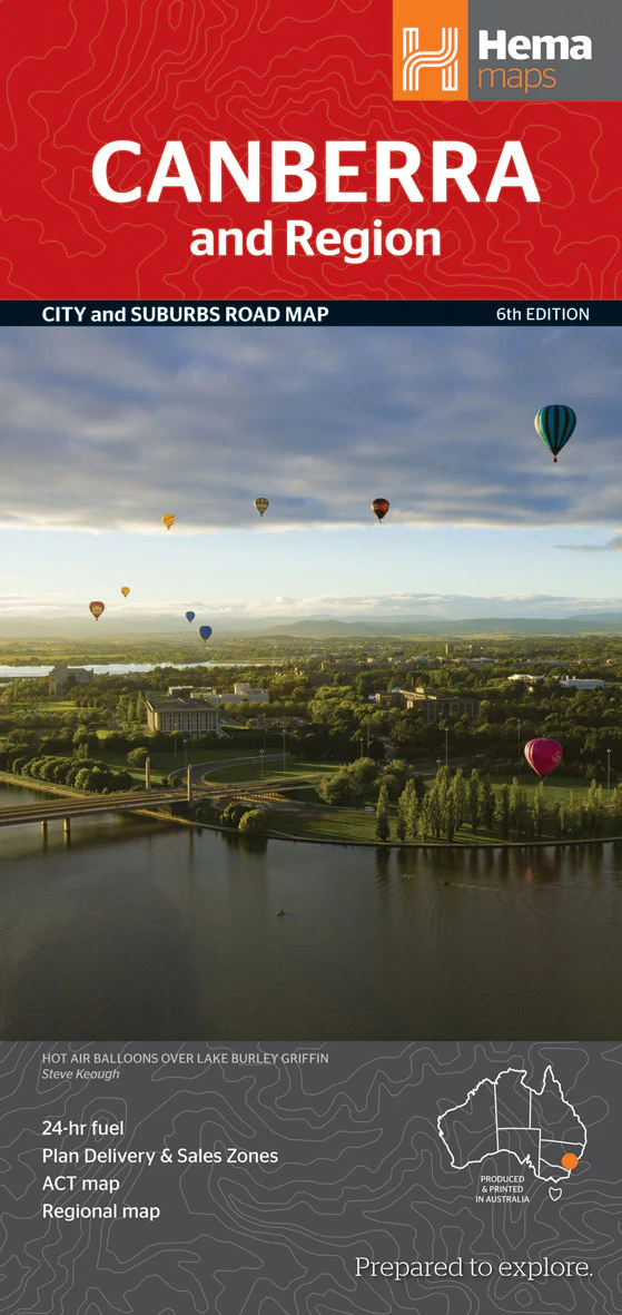
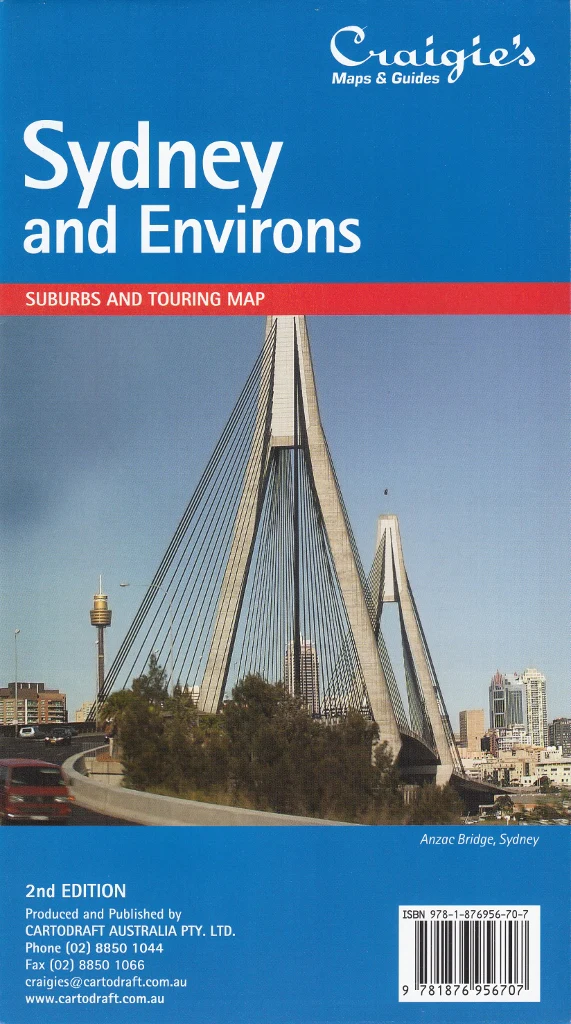
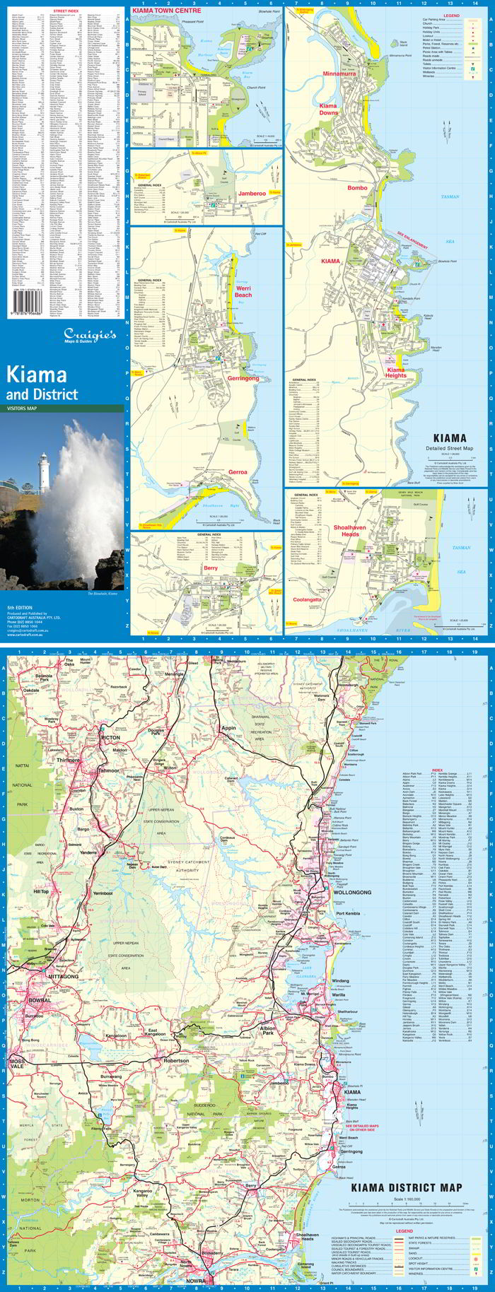
Sydney & New South Wales Folded Postcode Map
A practical, accurate, and easy-to-use reference for navigating postcode boundaries across Sydney and greater New South Wales.
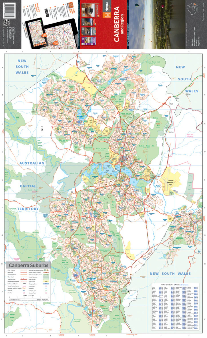
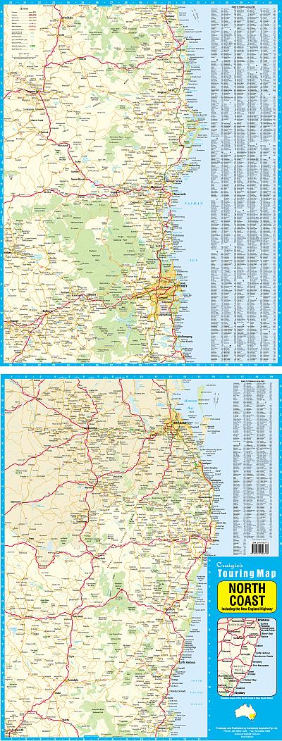
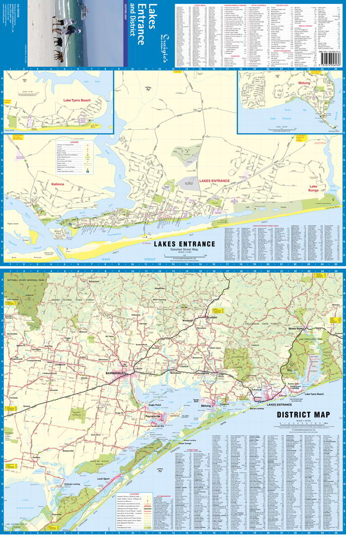
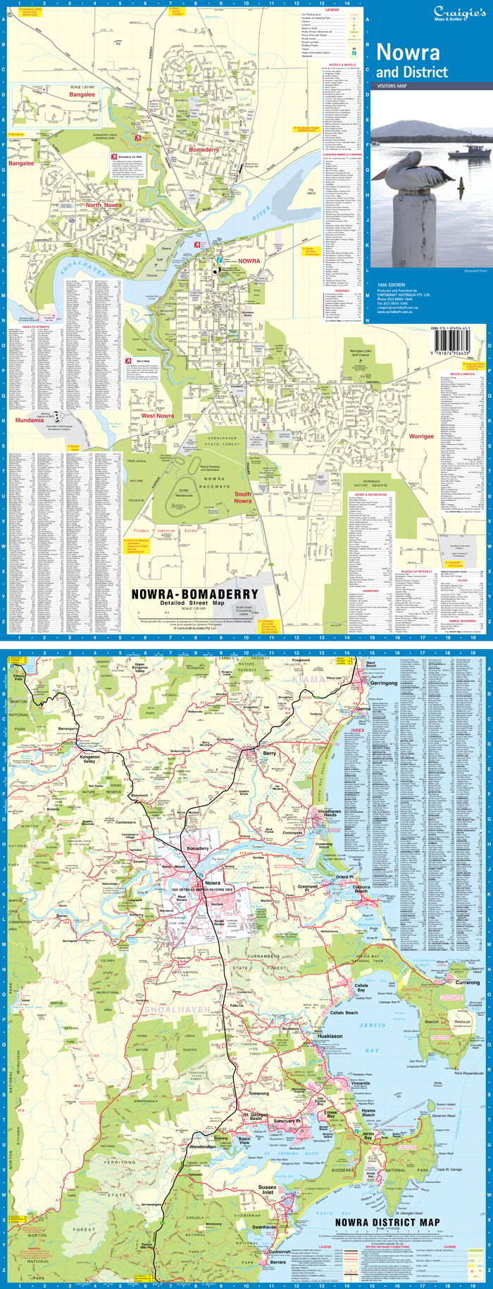
Whether you're managing deliveries, planning sales territories, or coordinating marketing campaigns, the Cartodraft Sydney & New South Wales Postcode Map is an essential business tool. This double-sided folded map clearly displays postcode boundaries and postcode numbers, covering both metropolitan Sydney and regional NSW in fine detail.
🔍 Key Features
-
📌 Clearly Defined Postcode Boundaries
Easily identify the divisions between postcode areas across Sydney and New South Wales. Ideal for logistics, mail planning, and service areas. -
🧭 Comprehensive Coverage
Includes the full state of New South Wales, with detailed mapping of the Sydney metropolitan area and key regional hubs. -
🗂️ Fully Indexed for Quick Reference
Features an alphabetical index of town and suburb names matched with their corresponding postcodes — making it easy to locate any area at a glance. -
🔁 Double-Sided Format
One side focuses on Greater Sydney, while the reverse side details the entire state of New South Wales, offering both localised detail and state-wide overview. -
🏢 Perfect for Business Use
Essential for:-
Real estate agents
-
Courier and freight companies
-
Marketing professionals
-
Regional planners
-
Franchise and territory managers
-
📐 Map Specifications
| Feature | Details |
|---|---|
| Publisher | Cartodraft |
| Format | Folded, double-sided |
| Coverage | Greater Sydney & all of New South Wales |
| Size (Unfolded) | 1110 mm (W) × 788 mm (H) |
| Index | Complete postcode index with towns & suburbs |
| Use Case | Business planning, delivery logistics, postcode lookup |
🧳 Ideal For:
-
🚚 Logistics and transport coordinators
-
🏢 Businesses assigning sales or service zones
-
🏘️ Real estate offices working across multiple districts
-
📬 Postal operations and bulk mailing planners
-
🗺️ Map users who need postcode-specific data in an easy-to-read layout
📌 Stay Organised. Plan Smarter. Deliver with Confidence.
The Sydney & New South Wales Folded Postcode Map by Cartodraft is more than just a map — it’s a powerful planning tool designed to support efficiency and accuracy in your business operations.
Order now and make postcode navigation simple and reliable — every time.
Original: $50.05
-65%$50.05
$17.52Product Information
Product Information
Shipping & Returns
Shipping & Returns
Description
A practical, accurate, and easy-to-use reference for navigating postcode boundaries across Sydney and greater New South Wales.
Whether you're managing deliveries, planning sales territories, or coordinating marketing campaigns, the Cartodraft Sydney & New South Wales Postcode Map is an essential business tool. This double-sided folded map clearly displays postcode boundaries and postcode numbers, covering both metropolitan Sydney and regional NSW in fine detail.
🔍 Key Features
-
📌 Clearly Defined Postcode Boundaries
Easily identify the divisions between postcode areas across Sydney and New South Wales. Ideal for logistics, mail planning, and service areas. -
🧭 Comprehensive Coverage
Includes the full state of New South Wales, with detailed mapping of the Sydney metropolitan area and key regional hubs. -
🗂️ Fully Indexed for Quick Reference
Features an alphabetical index of town and suburb names matched with their corresponding postcodes — making it easy to locate any area at a glance. -
🔁 Double-Sided Format
One side focuses on Greater Sydney, while the reverse side details the entire state of New South Wales, offering both localised detail and state-wide overview. -
🏢 Perfect for Business Use
Essential for:-
Real estate agents
-
Courier and freight companies
-
Marketing professionals
-
Regional planners
-
Franchise and territory managers
-
📐 Map Specifications
| Feature | Details |
|---|---|
| Publisher | Cartodraft |
| Format | Folded, double-sided |
| Coverage | Greater Sydney & all of New South Wales |
| Size (Unfolded) | 1110 mm (W) × 788 mm (H) |
| Index | Complete postcode index with towns & suburbs |
| Use Case | Business planning, delivery logistics, postcode lookup |
🧳 Ideal For:
-
🚚 Logistics and transport coordinators
-
🏢 Businesses assigning sales or service zones
-
🏘️ Real estate offices working across multiple districts
-
📬 Postal operations and bulk mailing planners
-
🗺️ Map users who need postcode-specific data in an easy-to-read layout
📌 Stay Organised. Plan Smarter. Deliver with Confidence.
The Sydney & New South Wales Folded Postcode Map by Cartodraft is more than just a map — it’s a powerful planning tool designed to support efficiency and accuracy in your business operations.
Order now and make postcode navigation simple and reliable — every time.