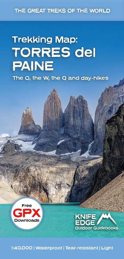
Torres del Paine- Chile Folded Trekking Map 2026
🏔 Torres del Paine Folded Trekking Map — 2026 Edition
1:40,000 Scale • O, W & Q Circuits • Elevation Profiles • GPX Compatible • Trek-Ready Durable Sheet
🌎 The Definitive Sheet Map for Torres del Paine
If you’re trekking in Torres del Paine National Park, this is the map serious walkers carry.
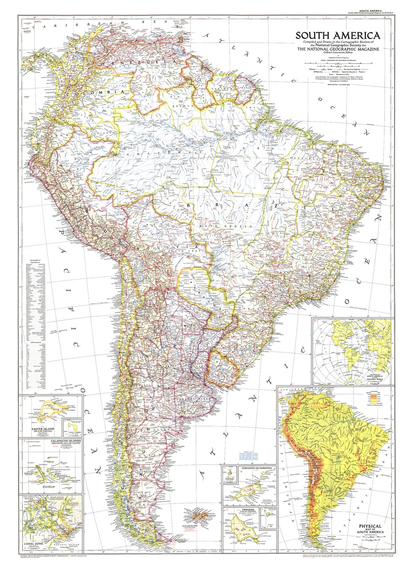
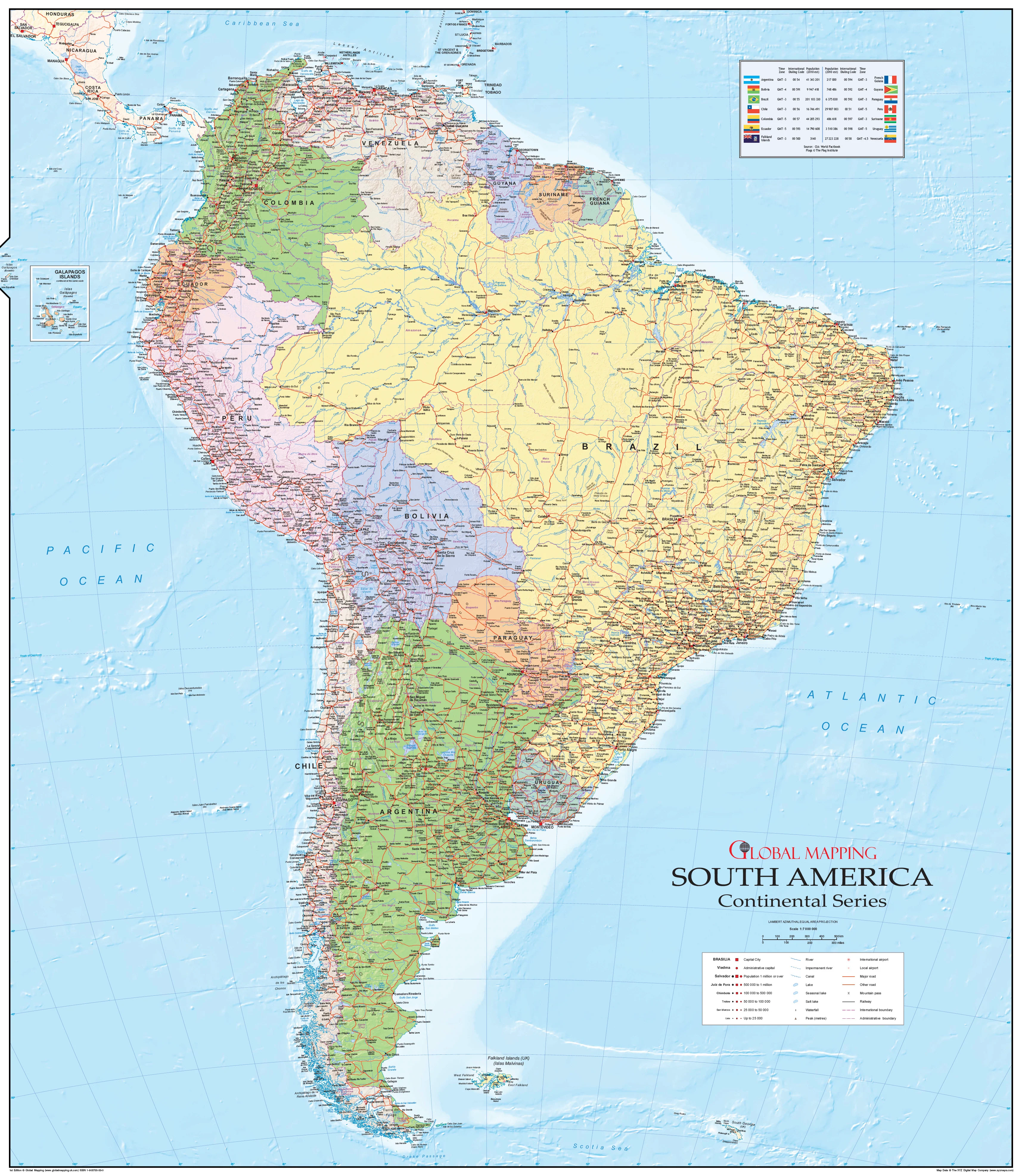
The 2026 Torres del Paine Folded Trekking Map, produced by Knife Edge Outdoor Guidebooks, is the only single-sheet map that clearly shows all accommodation, food, and transport options alongside the complete O, W, and Q circuits — plus key day hikes.
At a detailed 1:40,000 scale, it provides noticeably more terrain clarity and route precision than standard tourist maps. Whether you’re planning months ahead or navigating on the trail, this is a true backcountry tool — not just a souvenir.
🗺 Complete Trail Coverage
🥾 The Big Three Circuits — Fully Mapped
-
O Circuit (Full Paine Circuit)
-
W Trek
-
Q Route Extension
Every stage is broken down with:
-
📏 Distance
-
⏱ Estimated walking time
-
⛰ Elevation gain & loss
-
📈 Full elevation profiles
This makes pacing your trek far easier — especially across demanding sections like John Gardner Pass, the French Valley, and the climb to the Torres viewpoint.
🏕 Accommodation, Food & Transport — Clearly Marked
This is where the map truly stands apart.
Facilities shown directly on the map include:
-
Refugios
-
Designated campsites
-
Food stops
-
Park entrances
-
Transport pickup/drop-off points
-
Ferry crossings
When planning multi-day logistics in Torres del Paine — where booking and stage timing are critical — this level of clarity is invaluable.
📍 Day Hikes Included
Not everyone is tackling the full circuit. This map also shows:
-
Base of the Torres day hike
-
French Valley day return
-
Lago Grey glacier walks
-
Mirador and viewpoint tracks
Perfect for shorter itineraries or guided day excursions.
🧭 Terrain Detail You Can Trust
At 1:40,000 scale, you get:
-
Clear contour lines for terrain interpretation
-
Glacier, lake, and river detail
-
Passes and ridgelines accurately defined
-
Trail junctions easy to identify
-
GPS grid for precise navigation
This larger scale gives noticeably more clarity than typical 1:100,000 park maps — particularly important in fog, wind, or low-visibility alpine conditions.
📲 GPS Compatible — Free GPX Downloads
Each map includes access to free downloadable GPX tracks, allowing you to:
-
Upload routes to your GPS device
-
Use with phone-based mapping apps
-
Cross-check position in low-visibility conditions
A powerful combination: physical map + digital backup.
💪 Built for Patagonian Conditions
Torres del Paine is famous for extreme wind and unpredictable weather. This map is engineered for it:
-
More tear-resistant than traditional maps
-
More water-resistant than standard paper
-
Lightweight for pack efficiency
-
Foldable without rapid edge breakdown
As the publishers say — “Tougher than traditional maps — try to tear me!”
🌍 Multilingual Key
Map legend provided in:
-
English
-
French
-
German
Ideal for international trekking groups and guided tours.
📐 Specifications
| Feature | Detail |
|---|---|
| Title | Torres del Paine Folded Trekking Map |
| Edition | 2026 |
| Scale | 1:40,000 |
| Coverage | Torres del Paine National Park, Chile |
| Circuits | O, W & Q |
| Day Hikes | Included |
| Elevation Profiles | Yes — for each stage |
| GPX Tracks | Free download included |
| GPS Compatible | Yes |
| Map Key | English / French / German |
| Format | Folded sheet |
| Durability | Tear-resistant • Water-resistant • Lightweight |
🎒 Who It’s For
-
Independent multi-day trekkers
-
O Circuit thru-hikers
-
Guided expedition leaders
-
Backpackers planning logistics
-
Patagonia travel planners
-
Outdoor educators
🏔 Why Carry a Physical Map in Patagonia?
Even with GPS and mobile apps, Torres del Paine’s remote terrain, cold temperatures, and sudden storms can drain batteries quickly. A durable, large-scale printed map remains the most reliable navigation tool — and this edition is purpose-built for exactly that.
Plan smarter.
Pack lighter.
Trek with confidence.
The 2026 Torres del Paine Folded Trekking Map is not just helpful — it’s essential for anyone serious about exploring Patagonia’s most iconic landscape.
Original: $28.58
-65%$28.58
$10.00Product Information
Product Information
Shipping & Returns
Shipping & Returns
Description
🏔 Torres del Paine Folded Trekking Map — 2026 Edition
1:40,000 Scale • O, W & Q Circuits • Elevation Profiles • GPX Compatible • Trek-Ready Durable Sheet
🌎 The Definitive Sheet Map for Torres del Paine
If you’re trekking in Torres del Paine National Park, this is the map serious walkers carry.
The 2026 Torres del Paine Folded Trekking Map, produced by Knife Edge Outdoor Guidebooks, is the only single-sheet map that clearly shows all accommodation, food, and transport options alongside the complete O, W, and Q circuits — plus key day hikes.
At a detailed 1:40,000 scale, it provides noticeably more terrain clarity and route precision than standard tourist maps. Whether you’re planning months ahead or navigating on the trail, this is a true backcountry tool — not just a souvenir.
🗺 Complete Trail Coverage
🥾 The Big Three Circuits — Fully Mapped
-
O Circuit (Full Paine Circuit)
-
W Trek
-
Q Route Extension
Every stage is broken down with:
-
📏 Distance
-
⏱ Estimated walking time
-
⛰ Elevation gain & loss
-
📈 Full elevation profiles
This makes pacing your trek far easier — especially across demanding sections like John Gardner Pass, the French Valley, and the climb to the Torres viewpoint.
🏕 Accommodation, Food & Transport — Clearly Marked
This is where the map truly stands apart.
Facilities shown directly on the map include:
-
Refugios
-
Designated campsites
-
Food stops
-
Park entrances
-
Transport pickup/drop-off points
-
Ferry crossings
When planning multi-day logistics in Torres del Paine — where booking and stage timing are critical — this level of clarity is invaluable.
📍 Day Hikes Included
Not everyone is tackling the full circuit. This map also shows:
-
Base of the Torres day hike
-
French Valley day return
-
Lago Grey glacier walks
-
Mirador and viewpoint tracks
Perfect for shorter itineraries or guided day excursions.
🧭 Terrain Detail You Can Trust
At 1:40,000 scale, you get:
-
Clear contour lines for terrain interpretation
-
Glacier, lake, and river detail
-
Passes and ridgelines accurately defined
-
Trail junctions easy to identify
-
GPS grid for precise navigation
This larger scale gives noticeably more clarity than typical 1:100,000 park maps — particularly important in fog, wind, or low-visibility alpine conditions.
📲 GPS Compatible — Free GPX Downloads
Each map includes access to free downloadable GPX tracks, allowing you to:
-
Upload routes to your GPS device
-
Use with phone-based mapping apps
-
Cross-check position in low-visibility conditions
A powerful combination: physical map + digital backup.
💪 Built for Patagonian Conditions
Torres del Paine is famous for extreme wind and unpredictable weather. This map is engineered for it:
-
More tear-resistant than traditional maps
-
More water-resistant than standard paper
-
Lightweight for pack efficiency
-
Foldable without rapid edge breakdown
As the publishers say — “Tougher than traditional maps — try to tear me!”
🌍 Multilingual Key
Map legend provided in:
-
English
-
French
-
German
Ideal for international trekking groups and guided tours.
📐 Specifications
| Feature | Detail |
|---|---|
| Title | Torres del Paine Folded Trekking Map |
| Edition | 2026 |
| Scale | 1:40,000 |
| Coverage | Torres del Paine National Park, Chile |
| Circuits | O, W & Q |
| Day Hikes | Included |
| Elevation Profiles | Yes — for each stage |
| GPX Tracks | Free download included |
| GPS Compatible | Yes |
| Map Key | English / French / German |
| Format | Folded sheet |
| Durability | Tear-resistant • Water-resistant • Lightweight |
🎒 Who It’s For
-
Independent multi-day trekkers
-
O Circuit thru-hikers
-
Guided expedition leaders
-
Backpackers planning logistics
-
Patagonia travel planners
-
Outdoor educators
🏔 Why Carry a Physical Map in Patagonia?
Even with GPS and mobile apps, Torres del Paine’s remote terrain, cold temperatures, and sudden storms can drain batteries quickly. A durable, large-scale printed map remains the most reliable navigation tool — and this edition is purpose-built for exactly that.
Plan smarter.
Pack lighter.
Trek with confidence.
The 2026 Torres del Paine Folded Trekking Map is not just helpful — it’s essential for anyone serious about exploring Patagonia’s most iconic landscape.